Area Overview for GL6 6ES
Photos of GL6 6ES
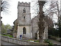

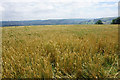
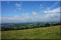
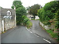
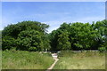
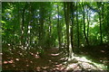
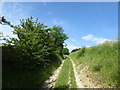
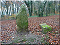
66 photos from this area
Area Information
Key information about the GL6 6ES including its size, population, and administrative classification.
- Area Type
- Postcode
- Area Size
- 6257 m²
- Population
- 1712
- Population Density
- 491 people/km²
House Prices in GL6 6ES
10
Properties
£276,667
Average Sold Price
£100,000
Lowest Price
£380,000
Highest Price
Showing 10 properties
| Address | Type | Beds | Baths | Last Sale Price | Last Sale Date | |
|---|---|---|---|---|---|---|
| Ash Villa, Townsend, Randwick, Stroud, GL6 6ES | house | 5 | - | £380,000 | Aug 2012 | |
| Lodgemore House, Townsend, Randwick, Stroud, GL6 6ES | Detached | - | - | £345,000 | Jan 2009 | |
| Acorn Rise, Townsend, Randwick, Stroud, GL6 6ES | Detached | 6 | - | £360,000 | Apr 2008 | |
| Coombeside, Townsend, Randwick, Stroud, GL6 6ES | Semi-detached | - | - | £340,000 | Aug 2005 | |
| Ashway, Townsend, Randwick, Stroud, GL6 6ES | Detached | - | - | £100,000 | May 1998 | |
| Pondok Idaman, Townsend, Randwick, Stroud, GL6 6ES | Detached | - | - | £135,000 | Mar 1997 | |
| Blenheim Cottage, Townsend, Randwick, Stroud, GL6 6ES | Detached | 4 | 1 | - | - | |
| 1, Blenheim Cottages, Townsend, Randwick, Stroud, GL6 6ES | Cottage | 3 | 1 | - | - | |
| 2, Blenheim Cottages, Townsend, Randwick, Stroud, GL6 6ES | Cottage | 2 | 1 | - | - | |
| Leeside, Townsend, Randwick, Stroud, GL6 6ES | Detached | - | - | - | - |
Energy Efficiency in GL6 6ES
Amenities
Schools
| Rank | School | Type | Entry gender | Ages |
|---|
Explore more schools in this area
Go to Schools tabDemographics
Household Size
Two person
most common
Accommodation Type
Houses
most common
Tenure
86
majority
Ethnic Group
White
most common
Religion
N/A
most common
Household Composition
N/A
most common
Age
47
median
Adults (30-64 years)
most common
Household Deprivation
N/A
with no deprivation
NS-SEC
45
in Lower managerial occupations
Explore more demographic insights in this area
Go to Demographics tabPlanning
Planning Constraints
- Flood RiskPremium
- Ramsar Wetland SitesPremium
- Area of Outstanding Natural BeautyPremium
- Protected Nature ReservePremium
- Protected WoodlandPremium