Area Overview for GL6 6AB
Photos of GL6 6AB
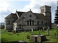
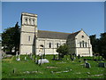
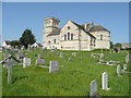
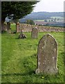

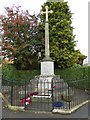
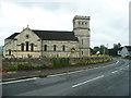
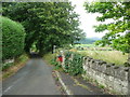
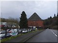
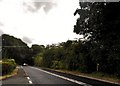
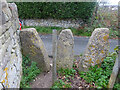
46 photos from this area
Area Information
Key information about the GL6 6AB including its size, population, and administrative classification.
- Area Type
- Postcode
- Area Size
- 10.9 hectares
- Population
- 1712
- Population Density
- 491 people/km²
House Prices in GL6 6AB
25
Properties
£378,708
Average Sold Price
£116,500
Lowest Price
£745,000
Highest Price
Showing 25 properties
| Address | Type | Beds | Baths | Last Sale Price | Last Sale Date | |
|---|---|---|---|---|---|---|
| Lookafar, The Plain, Whiteshill, Stroud, GL6 6AB | Detached | 4 | 2 | £745,000 | Jul 2024 | |
| Bethany, The Plain, Whiteshill, Stroud, GL6 6AB | Bungalow | 2 | 1 | £570,000 | Sep 2021 | |
| Old School House, The Plain, Whiteshill, Stroud, GL6 6AB | house | - | - | £680,000 | Oct 2017 | |
| Victoria Villa, The Plain, Whiteshill, Stroud, GL6 6AB | house | - | - | £390,000 | Sep 2015 | |
| Green Hedges, The Plain, Whiteshill, Stroud, GL6 6AB | Semi-detached | 4 | 1 | £330,000 | Dec 2014 | |
| Forefield, The Plain, Whiteshill, Stroud, GL6 6AB | Detached | 4 | - | £345,000 | May 2014 | |
| Highcroft, The Plain, Whiteshill, Stroud, GL6 6AB | Detached | 3 | - | £280,000 | Feb 2014 | |
| Church Gate, The Plain, Whiteshill, Stroud, GL6 6AB | house | - | - | £375,000 | May 2011 | |
| Hillenvale House, The Plain, Whiteshill, Stroud, GL6 6AB | Detached | - | - | £460,000 | Jan 2008 | |
| Alexandra Villa, The Plain, Whiteshill, Stroud, GL6 6AB | house | - | - | £130,000 | Jul 1999 |
Page 1 of 3
Energy Efficiency in GL6 6AB
Amenities
Schools
| Rank | School | Type | Entry gender | Ages |
|---|
Explore more schools in this area
Go to Schools tabDemographics
Household Size
Two person
most common
Accommodation Type
Houses
most common
Tenure
86
majority
Ethnic Group
White
most common
Religion
N/A
most common
Household Composition
N/A
most common
Age
47
median
Adults (30-64 years)
most common
Household Deprivation
N/A
with no deprivation
NS-SEC
45
in Lower managerial occupations
Explore more demographic insights in this area
Go to Demographics tabPlanning
Planning Constraints
- Flood RiskPremium
- Ramsar Wetland SitesPremium
- Area of Outstanding Natural BeautyPremium
- Protected Nature ReservePremium
- Protected WoodlandPremium