Area Overview for GL56 0TL
Photos of GL56 0TL
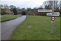
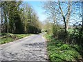
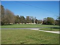
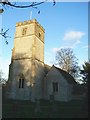
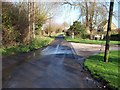
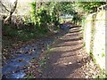
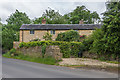
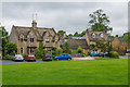
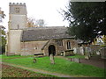
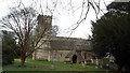
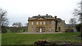
73 photos from this area
Area Information
Key information about the GL56 0TL including its size, population, and administrative classification.
- Area Type
- Postcode
- Area Size
- 2.2 hectares
- Population
- 1792
- Population Density
- 28 people/km²
House Prices in GL56 0TL
14
Properties
£728,952
Average Sold Price
£178,333
Lowest Price
£1,750,000
Highest Price
Showing 14 properties
| Address | Type | Beds | Baths | Last Sale Price | Last Sale Date | |
|---|---|---|---|---|---|---|
| 1 Foxes Row, Broadwell, GL56 0TL | house | 3 | - | £571,000 | Aug 2022 | |
| Loxley House, 3/132 Main Road Through Broadwell, Broadwell, GL56 0TL | house | - | - | £1,750,000 | May 2018 | |
| Rectory Barn, 3/132 Main Road Through Broadwell, Broadwell, GL56 0TL | Semi-detached | 4 | 3 | £635,000 | Aug 2017 | |
| Vine House, 3/132 Main Road Through Broadwell, Broadwell, GL56 0TL | Detached | 5 | 5 | £1,250,000 | Nov 2010 | |
| Nursery House, Foxes Row, Broadwell, GL56 0TL | Detached | 3 | 2 | £520,000 | Dec 2006 | |
| Pond House, Foxes Row, Broadwell, GL56 0TL | Detached | 5 | 4 | £178,333 | Jun 2000 | |
| Brook House, Foxes Row, Broadwell, GL56 0TL | Detached | - | - | £198,333 | Dec 1999 | |
| 3 Foxes Row, Broadwell, GL56 0TL | Terraced | 3 | 1 | - | - | |
| Rectory Farmhouse, Road Adjacent To Redhill Farm, Broadwell, GL56 0TL | house | 6 | 3 | - | - | |
| 6 Foxes Row, Broadwell, GL56 0TL | Semi-detached | 3 | - | - | - |
Page 1 of 2
Energy Efficiency in GL56 0TL
Amenities
Schools
| Rank | School | Type | Entry gender | Ages |
|---|
Explore more schools in this area
Go to Schools tabDemographics
Household Size
Two person
most common
Accommodation Type
Houses
most common
Tenure
61
majority
Ethnic Group
White
most common
Religion
N/A
most common
Household Composition
N/A
most common
Age
47
median
Adults (30-64 years)
most common
Household Deprivation
N/A
with no deprivation
NS-SEC
41
in Lower managerial occupations
Explore more demographic insights in this area
Go to Demographics tabPlanning
Planning Constraints
- Flood RiskPremium
- Ramsar Wetland SitesPremium
- Area of Outstanding Natural BeautyPremium
- Protected Nature ReservePremium
- Protected WoodlandPremium