Area Overview for GL54 5TA
Photos of GL54 5TA
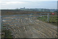
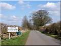
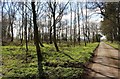
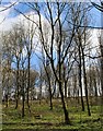
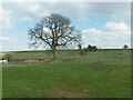
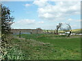
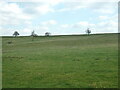
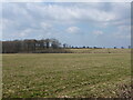


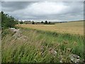
22 photos from this area
Area Information
Key information about the GL54 5TA including its size, population, and administrative classification.
- Area Type
- Postcode
- Area Size
- 1.2 km²
- Population
- 1430
- Population Density
- 43 people/km²
House Prices in GL54 5TA
32
Properties
£783,650
Average Sold Price
£247,500
Lowest Price
£2,440,000
Highest Price
Showing 32 properties
| Address | Type | Beds | Baths | Last Sale Price | Last Sale Date | |
|---|---|---|---|---|---|---|
| Springfield House, Hawling Road, Hawling, Cheltenham, GL54 5TA | house | 4 | 2 | £1,150,000 | Nov 2023 | |
| 2, Glebe Cottages, Hawling Road, Hawling, Cheltenham, GL54 5TA | Semi-detached | 4 | 3 | £452,000 | Oct 2022 | |
| 3, Glebe Cottages, Hawling Road, Hawling, Cheltenham, GL54 5TA | Semi-detached | 3 | 2 | £515,000 | Feb 2021 | |
| 31 Hawling Road, Hawling, Cheltenham, GL54 5TA | house | - | - | £771,000 | Jun 2019 | |
| Hawling House, Hawling Road, Hawling, Cheltenham, GL54 5TA | Detached | 5 | 3 | £2,440,000 | Oct 2018 | |
| Old School House, Hawling Road, Hawling, Cheltenham, GL54 5TA | house | - | - | £461,000 | Dec 2007 | |
| The Dairy House, Hawling Road, Hawling, Cheltenham, GL54 5TA | house | - | - | £780,000 | Oct 2007 | |
| 1, Glebe Cottages, Hawling Road, Hawling, Cheltenham, GL54 5TA | Semi-detached | 3 | 2 | £247,500 | Oct 2003 | |
| Cornerstones, Hawling Road, Hawling, Cheltenham, GL54 5TA | Detached | - | - | £625,000 | May 2002 | |
| Manor Barn, Hawling Road, Hawling, Cheltenham, GL54 5TA | house | - | - | £395,000 | Feb 1995 |
Page 1 of 4
Energy Efficiency in GL54 5TA
Amenities
Schools
| Rank | School | Type | Entry gender | Ages |
|---|
Explore more schools in this area
Go to Schools tabDemographics
Household Size
Two person
most common
Accommodation Type
Houses
most common
Tenure
69
majority
Ethnic Group
White
most common
Religion
N/A
most common
Household Composition
N/A
most common
Age
47
median
Adults (30-64 years)
most common
Household Deprivation
N/A
with no deprivation
NS-SEC
43
in Lower managerial occupations
Explore more demographic insights in this area
Go to Demographics tabPlanning
Planning Constraints
- Flood RiskPremium
- Ramsar Wetland SitesPremium
- Area of Outstanding Natural BeautyPremium
- Protected Nature ReservePremium
- Protected WoodlandPremium