Area Overview for GL53 9JB
Photos of GL53 9JB
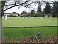
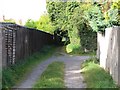
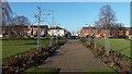
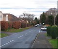
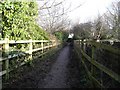
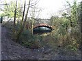
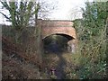
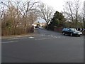
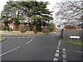
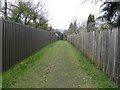
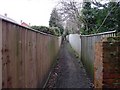
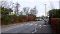
68 photos from this area
Area Information
Key information about the GL53 9JB including its size, population, and administrative classification.
- Area Type
- Postcode
- Area Size
- 8044 m²
- Population
- 1744
- Population Density
- 2227 people/km²
House Prices in GL53 9JB
12
Properties
£483,794
Average Sold Price
£100,000
Lowest Price
£830,000
Highest Price
Showing 12 properties
| Address | Type | Beds | Baths | Last Sale Price | Last Sale Date | |
|---|---|---|---|---|---|---|
| 68 Bafford Approach, Cheltenham, GL53 9JB | Detached | 4 | 3 | £830,000 | Dec 2021 | |
| 66 Bafford Approach, Cheltenham, GL53 9JB | house | - | - | £635,000 | Sep 2021 | |
| 72 Bafford Approach, Cheltenham, GL53 9JB | Detached | 4 | 2 | £685,000 | Oct 2020 | |
| 74 Bafford Approach, Cheltenham, GL53 9JB | Detached | 4 | 2 | £607,500 | May 2020 | |
| 64 Bafford Approach, Cheltenham, GL53 9JB | house | 4 | - | £490,000 | Jul 2016 | |
| 78 Bafford Approach, Cheltenham, GL53 9JB | Detached | - | - | £341,150 | Nov 2006 | |
| 76 Bafford Approach, Cheltenham, GL53 9JB | Detached | - | - | £278,000 | Aug 2005 | |
| 80 Bafford Approach, Cheltenham, GL53 9JB | Detached | - | - | £387,500 | Jul 2004 | |
| 62 Bafford Approach, Cheltenham, GL53 9JB | house | 4 | - | £100,000 | Apr 1998 | |
| 82 Bafford Approach, Cheltenham, GL53 9JB | Detached | - | - | - | - |
Page 1 of 2
Energy Efficiency in GL53 9JB
Amenities
Schools
| Rank | School | Type | Entry gender | Ages |
|---|
Explore more schools in this area
Go to Schools tabDemographics
Household Size
Two person
most common
Accommodation Type
Houses
most common
Tenure
87
majority
Ethnic Group
White
most common
Religion
N/A
most common
Household Composition
N/A
most common
Age
47
median
Adults (30-64 years)
most common
Household Deprivation
N/A
with no deprivation
NS-SEC
54
in Lower managerial occupations
Explore more demographic insights in this area
Go to Demographics tabPlanning
Planning Constraints
- Flood RiskPremium
- Ramsar Wetland SitesPremium
- Area of Outstanding Natural BeautyPremium
- Protected Nature ReservePremium
- Protected WoodlandPremium