Area Overview for GL53 9AY
Photos of GL53 9AY

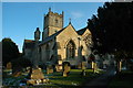

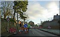
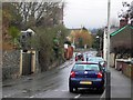
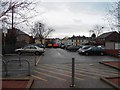

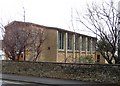
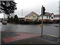
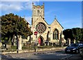
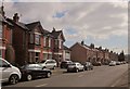
100 photos from this area
Area Information
Key information about the GL53 9AY including its size, population, and administrative classification.
- Area Type
- Postcode
- Area Size
- 2.1 hectares
- Population
- 1744
- Population Density
- 2227 people/km²
House Prices in GL53 9AY
18
Properties
£740,611
Average Sold Price
£150,000
Lowest Price
£1,320,000
Highest Price
Showing 18 properties
| Address | Type | Beds | Baths | Last Sale Price | Last Sale Date | |
|---|---|---|---|---|---|---|
| 15 Newcourt Park, Cheltenham, GL53 9AY | Detached | 5 | 3 | £1,320,000 | Dec 2022 | |
| 1 Newcourt Park, Cheltenham, GL53 9AY | house | - | - | £1,150,000 | Dec 2022 | |
| 13 Newcourt Park, Cheltenham, GL53 9AY | Detached | 4 | 1 | £750,000 | Jun 2018 | |
| 8 Newcourt Park, Cheltenham, GL53 9AY | Detached | 6 | 4 | £752,999 | Mar 2018 | |
| 3 Newcourt Park, Cheltenham, GL53 9AY | house | - | - | £790,000 | May 2017 | |
| 18 Newcourt Park, Cheltenham, GL53 9AY | house | - | - | £877,500 | Nov 2016 | |
| 10 Newcourt Park, Cheltenham, GL53 9AY | Detached | 4 | - | £540,000 | Dec 2012 | |
| 2 Newcourt Park, Cheltenham, GL53 9AY | house | - | - | £335,000 | Oct 2002 | |
| 17 Newcourt Park, Cheltenham, GL53 9AY | Detached | - | - | £150,000 | Aug 1995 | |
| 6 Newcourt Park, Cheltenham, GL53 9AY | Detached | 5 | 3 | - | - |
Page 1 of 2
Energy Efficiency in GL53 9AY
Amenities
Schools
| Rank | School | Type | Entry gender | Ages |
|---|
Explore more schools in this area
Go to Schools tabDemographics
Household Size
Two person
most common
Accommodation Type
Houses
most common
Tenure
87
majority
Ethnic Group
White
most common
Religion
N/A
most common
Household Composition
N/A
most common
Age
47
median
Adults (30-64 years)
most common
Household Deprivation
N/A
with no deprivation
NS-SEC
54
in Lower managerial occupations
Explore more demographic insights in this area
Go to Demographics tabPlanning
Planning Constraints
- Flood RiskPremium
- Ramsar Wetland SitesPremium
- Area of Outstanding Natural BeautyPremium
- Protected Nature ReservePremium
- Protected WoodlandPremium