Area Overview for GL53 7PJ
Photos of GL53 7PJ
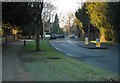


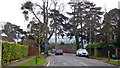


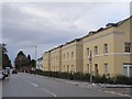
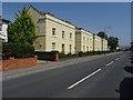
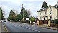
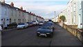
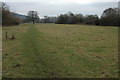
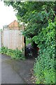
45 photos from this area
Area Information
Key information about the GL53 7PJ including its size, population, and administrative classification.
- Area Type
- Postcode
- Area Size
- 9904 m²
- Population
- 1480
- Population Density
- 3828 people/km²
House Prices in GL53 7PJ
39
Properties
£241,363
Average Sold Price
£47,000
Lowest Price
£548,000
Highest Price
Showing 39 properties
| Address | Type | Beds | Baths | Last Sale Price | Last Sale Date | |
|---|---|---|---|---|---|---|
| 6 Fairfield Parade, Cheltenham, GL53 7PJ | Semi-detached | 2 | 1 | £312,500 | Oct 2024 | |
| 2A Fairfield Parade, Cheltenham, GL53 7PJ | Terraced | 2 | 1 | £300,000 | Sep 2024 | |
| 10 Fairfield Parade, Cheltenham, GL53 7PJ | Semi-detached | 2 | 1 | £450,000 | Aug 2024 | |
| 3, Als Court, Fairfield Parade, Cheltenham, GL53 7PJ | Flat | - | - | £290,000 | Jul 2023 | |
| 28 Fairfield Parade, Cheltenham, GL53 7PJ | house | - | - | £548,000 | May 2023 | |
| 62 Fairfield Parade, Cheltenham, GL53 7PJ | Semi-detached | 2 | 1 | £375,000 | Aug 2021 | |
| 12 Fairfield Parade, Cheltenham, GL53 7PJ | Semi-detached | 2 | 1 | £327,000 | Dec 2020 | |
| 54 Fairfield Parade, Cheltenham, GL53 7PJ | Semi-detached | 3 | 1 | £420,000 | Oct 2020 | |
| 18 Fairfield Parade, Cheltenham, GL53 7PJ | Semi-detached | 4 | 2 | £307,500 | Sep 2020 | |
| 56 Fairfield Parade, Cheltenham, GL53 7PJ | house | - | - | £310,000 | Feb 2020 |
Page 1 of 4
Energy Efficiency in GL53 7PJ
Amenities
Schools
| Rank | School | Type | Entry gender | Ages |
|---|
Explore more schools in this area
Go to Schools tabDemographics
Household Size
Family (3-5 people)
most common
Accommodation Type
Houses
most common
Tenure
82
majority
Ethnic Group
White
most common
Religion
N/A
most common
Household Composition
N/A
most common
Age
47
median
Adults (30-64 years)
most common
Household Deprivation
N/A
with no deprivation
NS-SEC
59
in Lower managerial occupations
Explore more demographic insights in this area
Go to Demographics tabPlanning
Planning Constraints
- Flood RiskPremium
- Ramsar Wetland SitesPremium
- Area of Outstanding Natural BeautyPremium
- Protected Nature ReservePremium
- Protected WoodlandPremium