Area Overview for GL53 7DJ
Photos of GL53 7DJ
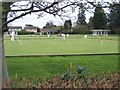
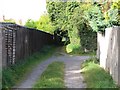
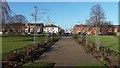
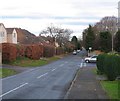
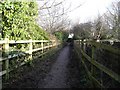
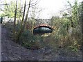
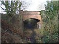
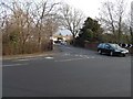
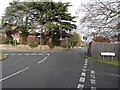
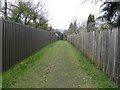
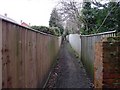
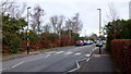
68 photos from this area
Area Information
Key information about the GL53 7DJ including its size, population, and administrative classification.
- Area Type
- Postcode
- Area Size
- 6.4 hectares
- Population
- 1744
- Population Density
- 2227 people/km²
House Prices in GL53 7DJ
19
Properties
£1,962,500
Average Sold Price
£475,000
Lowest Price
£3,500,000
Highest Price
Showing 19 properties
| Address | Type | Beds | Baths | Last Sale Price | Last Sale Date | |
|---|---|---|---|---|---|---|
| 14 Charlton Park Gate, Cheltenham, GL53 7DJ | Detached | 6 | 5 | £1,895,000 | Sep 2023 | |
| 3 Charlton Park Gate, Cheltenham, GL53 7DJ | Detached | 5 | 5 | £3,400,000 | Dec 2022 | |
| 6 Charlton Park Gate, Cheltenham, GL53 7DJ | Detached | - | - | £3,500,000 | May 2022 | |
| 10 Charlton Park Gate, Cheltenham, GL53 7DJ | house | 6 | - | £3,100,000 | Dec 2020 | |
| 12 Charlton Park Gate, Cheltenham, GL53 7DJ | house | - | - | £2,250,000 | Mar 2019 | |
| 4 Charlton Park Gate, Cheltenham, GL53 7DJ | house | - | - | £1,630,000 | Aug 2013 | |
| 9 Charlton Park Gate, Cheltenham, GL53 7DJ | Detached | - | - | £2,000,000 | Oct 2005 | |
| 7 Charlton Park Gate, Cheltenham, GL53 7DJ | Detached | - | - | £875,000 | Nov 1998 | |
| 1 Charlton Park Gate, Cheltenham, GL53 7DJ | Detached | 6 | 5 | £475,000 | Oct 1998 | |
| 11 Charlton Park Gate, Cheltenham, GL53 7DJ | Detached | - | - | £500,000 | May 1998 |
Page 1 of 2
Energy Efficiency in GL53 7DJ
Amenities
Schools
| Rank | School | Type | Entry gender | Ages |
|---|
Explore more schools in this area
Go to Schools tabDemographics
Household Size
Two person
most common
Accommodation Type
Houses
most common
Tenure
87
majority
Ethnic Group
White
most common
Religion
N/A
most common
Household Composition
N/A
most common
Age
47
median
Adults (30-64 years)
most common
Household Deprivation
N/A
with no deprivation
NS-SEC
54
in Lower managerial occupations
Explore more demographic insights in this area
Go to Demographics tabPlanning
Planning Constraints
- Flood RiskPremium
- Ramsar Wetland SitesPremium
- Area of Outstanding Natural BeautyPremium
- Protected Nature ReservePremium
- Protected WoodlandPremium