Area Overview for GL53 7BD
Photos of GL53 7BD
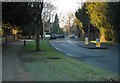
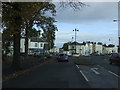
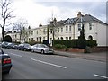
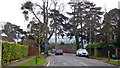
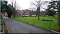

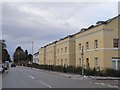
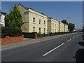
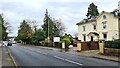
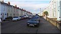
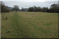
45 photos from this area
Area Information
Key information about the GL53 7BD including its size, population, and administrative classification.
- Area Type
- Postcode
- Area Size
- 1.4 hectares
- Population
- 1222
- Population Density
- 4379 people/km²
House Prices in GL53 7BD
58
Properties
£322,723
Average Sold Price
£79,950
Lowest Price
£640,000
Highest Price
Showing 58 properties
| Address | Type | Beds | Baths | Last Sale Price | Last Sale Date | |
|---|---|---|---|---|---|---|
| 43 Naunton Crescent, Cheltenham, GL53 7BD | Terraced | 3 | 1 | £635,000 | Mar 2025 | |
| 31 Naunton Crescent, Cheltenham, GL53 7BD | Terraced | 2 | 1 | £420,000 | Jul 2024 | |
| 13 Naunton Crescent, Cheltenham, GL53 7BD | Terraced | 3 | 1 | £500,000 | Mar 2024 | |
| 40 Naunton Crescent, Cheltenham, GL53 7BD | house | 3 | - | £640,000 | Apr 2023 | |
| 1 Naunton Crescent, Cheltenham, GL53 7BD | Terraced | 2 | 2 | £280,000 | Nov 2022 | |
| 5 Naunton Crescent, Cheltenham, GL53 7BD | Terraced | 3 | 2 | £285,000 | Aug 2022 | |
| 25 Naunton Crescent, Cheltenham, GL53 7BD | Terraced | 3 | 1 | £486,000 | Mar 2022 | |
| 19 Naunton Crescent, Cheltenham, GL53 7BD | Terraced | 2 | 2 | £450,000 | Nov 2021 | |
| 4 Naunton Crescent, Cheltenham, GL53 7BD | Terraced | 3 | 1 | £387,500 | Jun 2021 | |
| 28 Naunton Crescent, Cheltenham, GL53 7BD | house | - | - | £405,000 | Apr 2021 |
Page 1 of 6
Energy Efficiency in GL53 7BD
Amenities
Schools
| Rank | School | Type | Entry gender | Ages |
|---|
Explore more schools in this area
Go to Schools tabDemographics
Household Size
One person
most common
Accommodation Type
Houses
most common
Tenure
73
majority
Ethnic Group
White
most common
Religion
N/A
most common
Household Composition
N/A
most common
Age
47
median
Adults (30-64 years)
most common
Household Deprivation
N/A
with no deprivation
NS-SEC
54
in Lower managerial occupations
Explore more demographic insights in this area
Go to Demographics tabPlanning
Planning Constraints
- Flood RiskPremium
- Ramsar Wetland SitesPremium
- Area of Outstanding Natural BeautyPremium
- Protected Nature ReservePremium
- Protected WoodlandPremium