Area Overview for GL53 0EL
Photos of GL53 0EL
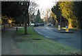
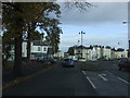
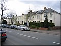
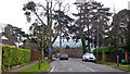
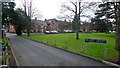
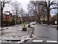
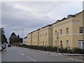
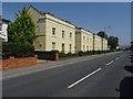
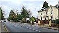
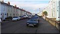
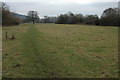
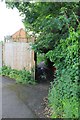
45 photos from this area
Area Information
Key information about the GL53 0EL including its size, population, and administrative classification.
- Area Type
- Postcode
- Area Size
- 6423 m²
- Population
- 1608
- Population Density
- 4540 people/km²
House Prices in GL53 0EL
28
Properties
£348,426
Average Sold Price
£85,000
Lowest Price
£695,500
Highest Price
Showing 28 properties
| Address | Type | Beds | Baths | Last Sale Price | Last Sale Date | |
|---|---|---|---|---|---|---|
| 6 Moorend Crescent, Cheltenham, GL53 0EL | Semi-detached | 2 | 2 | £695,500 | Nov 2024 | |
| 20 Moorend Crescent, Cheltenham, GL53 0EL | house | 2 | 1 | £400,000 | Jun 2023 | |
| 22 Moorend Crescent, Cheltenham, GL53 0EL | Semi-detached | 3 | 2 | £600,000 | May 2023 | |
| 48 Moorend Crescent, Cheltenham, GL53 0EL | Terraced | 3 | 1 | £470,000 | Nov 2022 | |
| 2A Moorend Crescent, Cheltenham, GL53 0EL | Terraced | 2 | 1 | £380,000 | Jul 2022 | |
| 18 Moorend Crescent, Cheltenham, GL53 0EL | Semi-detached | 3 | 2 | £550,000 | May 2022 | |
| 32 Moorend Crescent, Cheltenham, GL53 0EL | Semi-detached | 3 | 1 | £445,377 | Dec 2021 | |
| 8 Moorend Crescent, Cheltenham, GL53 0EL | house | - | - | £300,000 | Jun 2021 | |
| 46 Moorend Crescent, Cheltenham, GL53 0EL | Terraced | 3 | 3 | £432,500 | Mar 2021 | |
| 12 Moorend Crescent, Cheltenham, GL53 0EL | Semi-detached | 3 | 1 | £475,000 | Mar 2020 |
Page 1 of 3
Energy Efficiency in GL53 0EL
Amenities
Schools
| Rank | School | Type | Entry gender | Ages |
|---|
Explore more schools in this area
Go to Schools tabDemographics
Household Size
One person
most common
Accommodation Type
Houses
most common
Tenure
80
majority
Ethnic Group
White
most common
Religion
N/A
most common
Household Composition
N/A
most common
Age
47
median
Adults (30-64 years)
most common
Household Deprivation
N/A
with no deprivation
NS-SEC
52
in Lower managerial occupations
Explore more demographic insights in this area
Go to Demographics tabPlanning
Planning Constraints
- Flood RiskPremium
- Ramsar Wetland SitesPremium
- Area of Outstanding Natural BeautyPremium
- Protected Nature ReservePremium
- Protected WoodlandPremium