Area Overview for GL53 0AD
Photos of GL53 0AD
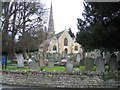
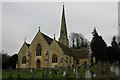
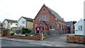
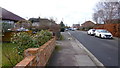
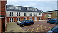
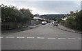
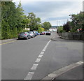
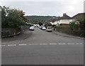
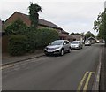
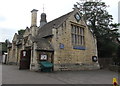
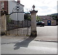
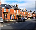
86 photos from this area
Area Information
Key information about the GL53 0AD including its size, population, and administrative classification.
- Area Type
- Postcode
- Area Size
- 1.9 hectares
- Population
- 2397
- Population Density
- 3942 people/km²
House Prices in GL53 0AD
30
Properties
£670,529
Average Sold Price
£140,000
Lowest Price
£1,600,000
Highest Price
Showing 30 properties
| Address | Type | Beds | Baths | Last Sale Price | Last Sale Date | |
|---|---|---|---|---|---|---|
| 153 Leckhampton Road, Cheltenham, GL53 0AD | Detached | 4 | 2 | £780,000 | Oct 2024 | |
| 161 Leckhampton Road, Cheltenham, GL53 0AD | Semi-detached | 4 | 2 | £770,000 | Feb 2024 | |
| 187 Leckhampton Road, Cheltenham, GL53 0AD | house | - | - | £1,300,000 | Sep 2023 | |
| 155 Leckhampton Road, Cheltenham, GL53 0AD | Semi-detached | 4 | - | £660,000 | Jan 2021 | |
| 189 Leckhampton Road, Cheltenham, GL53 0AD | house | - | - | £1,600,000 | Dec 2020 | |
| 197 Leckhampton Road, Cheltenham, GL53 0AD | house | 3 | - | £599,999 | Mar 2020 | |
| 159 Leckhampton Road, Cheltenham, GL53 0AD | house | 3 | - | £625,000 | Aug 2019 | |
| 191 Leckhampton Road, Cheltenham, GL53 0AD | Detached | 4 | - | £765,050 | Aug 2017 | |
| 181 Leckhampton Road, Cheltenham, GL53 0AD | Detached | 5 | - | £695,000 | Dec 2013 | |
| 183 Leckhampton Road, Cheltenham, GL53 0AD | house | - | - | £682,500 | Mar 2010 |
Page 1 of 3
Energy Efficiency in GL53 0AD
Amenities
Schools
| Rank | School | Type | Entry gender | Ages |
|---|
Explore more schools in this area
Go to Schools tabDemographics
Household Size
Two person
most common
Accommodation Type
Houses
most common
Tenure
82
majority
Ethnic Group
White
most common
Religion
N/A
most common
Household Composition
N/A
most common
Age
47
median
Adults (30-64 years)
most common
Household Deprivation
N/A
with no deprivation
NS-SEC
50
in Lower managerial occupations
Explore more demographic insights in this area
Go to Demographics tabPlanning
Planning Constraints
- Flood RiskPremium
- Ramsar Wetland SitesPremium
- Area of Outstanding Natural BeautyPremium
- Protected Nature ReservePremium
- Protected WoodlandPremium