Area Overview for GL52 6BQ
Photos of GL52 6BQ

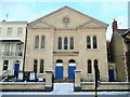
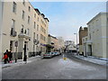
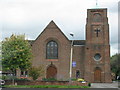
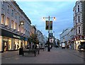
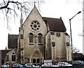
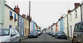
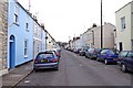
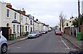
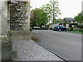
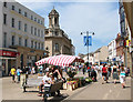
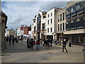
100 photos from this area
Area Information
Key information about the GL52 6BQ including its size, population, and administrative classification.
- Area Type
- Postcode
- Area Size
- 1.1 hectares
- Population
- 1656
- Population Density
- 5537 people/km²
House Prices in GL52 6BQ
33
Properties
£607,450
Average Sold Price
£155,000
Lowest Price
£1,450,000
Highest Price
Showing 33 properties
| Address | Type | Beds | Baths | Last Sale Price | Last Sale Date | |
|---|---|---|---|---|---|---|
| 15 Cranham Road, Cheltenham, GL52 6BQ | Detached | 4 | 2 | £615,000 | Nov 2023 | |
| Morley, 8 Cranham Road, Cheltenham, GL52 6BQ | Detached | 5 | 3 | £1,450,000 | Mar 2023 | |
| 21 Cranham Road, Cheltenham, GL52 6BQ | house | - | - | £820,000 | Jan 2020 | |
| 6 Cranham Road, Cheltenham, GL52 6BQ | house | - | - | £575,000 | Aug 2016 | |
| Exeter Villa, 10 Cranham Road, Cheltenham, GL52 6BQ | house | - | - | £1,200,000 | Aug 2015 | |
| 9 Cranham Road, Cheltenham, GL52 6BQ | Semi-detached | 3 | 1 | £373,000 | Jun 2014 | |
| 2 Cranham Road, Cheltenham, GL52 6BQ | house | - | - | £450,000 | Dec 2010 | |
| Cedar Lodge, 17 Cranham Road, Cheltenham, GL52 6BQ | Detached | - | - | £231,500 | Apr 1998 | |
| 7 Cranham Road, Cheltenham, GL52 6BQ | Detached | 4 | 3 | £155,000 | Dec 1997 | |
| Basement Flat, 19 Cranham Road, Cheltenham, GL52 6BQ | Flat | - | - | £205,000 | Nov 1997 |
Page 1 of 4
Energy Efficiency in GL52 6BQ
Amenities
Schools
| Rank | School | Type | Entry gender | Ages |
|---|
Explore more schools in this area
Go to Schools tabDemographics
Household Size
Two person
most common
Accommodation Type
Houses
most common
Tenure
71
majority
Ethnic Group
White
most common
Religion
N/A
most common
Household Composition
N/A
most common
Age
47
median
Adults (30-64 years)
most common
Household Deprivation
N/A
with no deprivation
NS-SEC
54
in Lower managerial occupations
Explore more demographic insights in this area
Go to Demographics tabPlanning
Planning Constraints
- Flood RiskPremium
- Ramsar Wetland SitesPremium
- Area of Outstanding Natural BeautyPremium
- Protected Nature ReservePremium
- Protected WoodlandPremium