Area Overview for GL52 5QP
Photos of GL52 5QP
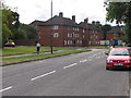
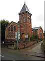
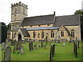
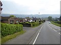
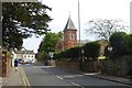
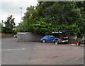
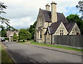
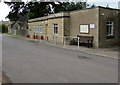
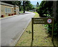
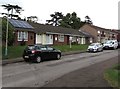
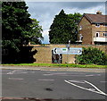
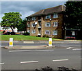
82 photos from this area
Area Information
Key information about the GL52 5QP including its size, population, and administrative classification.
- Area Type
- Postcode
- Area Size
- 3557 m²
- Population
- 1495
- Population Density
- 2315 people/km²
House Prices in GL52 5QP
12
Properties
£105,499
Average Sold Price
£12,000
Lowest Price
£189,995
Highest Price
Showing 12 properties
| Address | Type | Beds | Baths | Last Sale Price | Last Sale Date | |
|---|---|---|---|---|---|---|
| 23 Chelt Road, Cheltenham, GL52 5QP | Semi-detached | 3 | 1 | £189,995 | Jun 2019 | |
| 11 Chelt Road, Cheltenham, GL52 5QP | house | 2 | - | £116,000 | Mar 2012 | |
| 19 Chelt Road, Cheltenham, GL52 5QP | house | - | - | £105,000 | Dec 2010 | |
| 17 Chelt Road, Cheltenham, GL52 5QP | house | - | - | £145,000 | Sep 2007 | |
| 5 Chelt Road, Cheltenham, GL52 5QP | Semi-detached | - | - | £65,000 | Mar 2005 | |
| 7 Chelt Road, Cheltenham, GL52 5QP | Semi-detached | - | - | £12,000 | Nov 1998 | |
| 9 Chelt Road, Cheltenham, GL52 5QP | Semi-detached | - | - | - | - | |
| 21 Chelt Road, Cheltenham, GL52 5QP | Semi-detached | - | - | - | - | |
| 15 Chelt Road, Cheltenham, GL52 5QP | Semi-detached | - | - | - | - | |
| 1 Chelt Road, Cheltenham, GL52 5QP | house | - | - | - | - |
Page 1 of 2
Energy Efficiency in GL52 5QP
Amenities
Schools
| Rank | School | Type | Entry gender | Ages |
|---|
Explore more schools in this area
Go to Schools tabDemographics
Household Size
Family (3-5 people)
most common
Accommodation Type
Houses
most common
Tenure
57
majority
Ethnic Group
White
most common
Religion
N/A
most common
Household Composition
N/A
most common
Age
47
median
Adults (30-64 years)
most common
Household Deprivation
N/A
with no deprivation
NS-SEC
24
in Lower managerial occupations
Explore more demographic insights in this area
Go to Demographics tabPlanning
Planning Constraints
- Flood RiskPremium
- Ramsar Wetland SitesPremium
- Area of Outstanding Natural BeautyPremium
- Protected Nature ReservePremium
- Protected WoodlandPremium