Area Overview for GL52 5NH
Photos of GL52 5NH
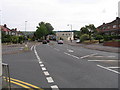
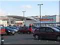
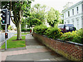
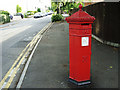
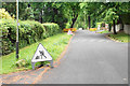
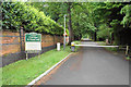
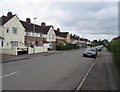
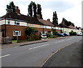
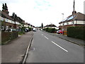
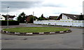
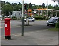
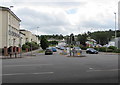
75 photos from this area
Area Information
Key information about the GL52 5NH including its size, population, and administrative classification.
- Area Type
- Postcode
- Area Size
- 1.5 hectares
- Population
- 1576
- Population Density
- 5219 people/km²
House Prices in GL52 5NH
38
Properties
£244,258
Average Sold Price
£49,950
Lowest Price
£407,500
Highest Price
Showing 38 properties
| Address | Type | Beds | Baths | Last Sale Price | Last Sale Date | |
|---|---|---|---|---|---|---|
| 48 Cleeve View Road, Cheltenham, GL52 5NH | Terraced | 2 | 1 | £310,000 | Sep 2025 | |
| 50 Cleeve View Road, Cheltenham, GL52 5NH | Terraced | 2 | 1 | £272,000 | Apr 2024 | |
| 60 Cleeve View Road, Cheltenham, GL52 5NH | Terraced | 2 | 1 | £311,230 | Aug 2022 | |
| 70 Cleeve View Road, Cheltenham, GL52 5NH | Terraced | 3 | 2 | £250,000 | Jul 2022 | |
| 10 Cleeve View Road, Cheltenham, GL52 5NH | house | - | - | £407,500 | Jun 2021 | |
| 40 Cleeve View Road, Cheltenham, GL52 5NH | house | - | - | £342,000 | Mar 2021 | |
| 24 Cleeve View Road, Cheltenham, GL52 5NH | house | 3 | - | £356,500 | Feb 2021 | |
| 30 Cleeve View Road, Cheltenham, GL52 5NH | house | - | - | £340,000 | Jan 2021 | |
| 68 Cleeve View Road, Cheltenham, GL52 5NH | Terraced | 2 | 1 | £246,500 | Dec 2020 | |
| 44A Cleeve View Road, Cheltenham, GL52 5NH | Terraced | 3 | 1 | £263,000 | Apr 2019 |
Page 1 of 4
Energy Efficiency in GL52 5NH
Amenities
Schools
| Rank | School | Type | Entry gender | Ages |
|---|
Explore more schools in this area
Go to Schools tabDemographics
Household Size
One person
most common
Accommodation Type
Houses
most common
Tenure
54
majority
Ethnic Group
White
most common
Religion
N/A
most common
Household Composition
N/A
most common
Age
47
median
Adults (30-64 years)
most common
Household Deprivation
N/A
with no deprivation
NS-SEC
35
in Lower managerial occupations
Explore more demographic insights in this area
Go to Demographics tabPlanning
Planning Constraints
- Flood RiskPremium
- Ramsar Wetland SitesPremium
- Area of Outstanding Natural BeautyPremium
- Protected Nature ReservePremium
- Protected WoodlandPremium