Area Overview for GL52 5FN
Photos of GL52 5FN
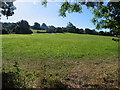
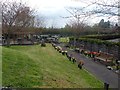
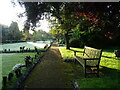
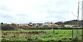
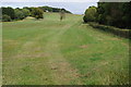
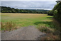
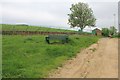
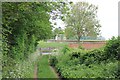

27 photos from this area
Area Information
Key information about the GL52 5FN including its size, population, and administrative classification.
- Area Type
- Postcode
- Area Size
- 1.5 hectares
- Population
- 1654
- Population Density
- 2237 people/km²
House Prices in GL52 5FN
56
Properties
£295,155
Average Sold Price
£162,000
Lowest Price
£635,000
Highest Price
Showing 56 properties
| Address | Type | Beds | Baths | Last Sale Price | Last Sale Date | |
|---|---|---|---|---|---|---|
| 65 Fairford Road, Cheltenham, GL52 5FN | Flat | 2 | 2 | £205,000 | Dec 2025 | |
| 107 Fairford Road, Cheltenham, GL52 5FN | Flat | - | - | £206,000 | Sep 2025 | |
| 53 Fairford Road, Cheltenham, GL52 5FN | Semi-detached | 3 | 2 | £290,000 | Mar 2025 | |
| 95 Fairford Road, Cheltenham, GL52 5FN | Flat | - | - | £206,000 | Sep 2024 | |
| 77 Fairford Road, Cheltenham, GL52 5FN | Flat | - | - | £200,000 | Jun 2024 | |
| 19 Fairford Road, Cheltenham, GL52 5FN | Detached | 4 | 2 | £450,000 | Jun 2024 | |
| 55 Fairford Road, Cheltenham, GL52 5FN | Semi-detached | 3 | 2 | £295,000 | Mar 2024 | |
| 89 Fairford Road, Cheltenham, GL52 5FN | Flat | 2 | 1 | £210,000 | Feb 2024 | |
| 105 Fairford Road, Cheltenham, GL52 5FN | Flat | - | - | £201,500 | Jul 2023 | |
| 13 Fairford Road, Cheltenham, GL52 5FN | Detached | 4 | 4 | £635,000 | Jan 2023 |
Page 1 of 6
Energy Efficiency in GL52 5FN
Amenities
Schools
| Rank | School | Type | Entry gender | Ages |
|---|
Explore more schools in this area
Go to Schools tabDemographics
Household Size
Family (3-5 people)
most common
Accommodation Type
Houses
most common
Tenure
68
majority
Ethnic Group
White
most common
Religion
N/A
most common
Household Composition
N/A
most common
Age
47
median
Adults (30-64 years)
most common
Household Deprivation
N/A
with no deprivation
NS-SEC
47
in Lower managerial occupations
Explore more demographic insights in this area
Go to Demographics tabPlanning
Planning Constraints
- Flood RiskPremium
- Ramsar Wetland SitesPremium
- Area of Outstanding Natural BeautyPremium
- Protected Nature ReservePremium
- Protected WoodlandPremium