Area Overview for GL52 3NT
Photos of GL52 3NT
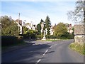
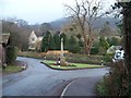
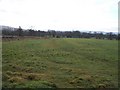
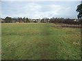
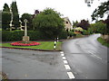

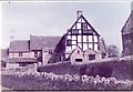
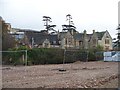
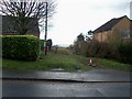
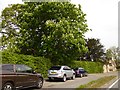
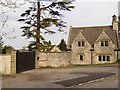

33 photos from this area
Area Information
Key information about the GL52 3NT including its size, population, and administrative classification.
- Area Type
- Postcode
- Area Size
- 1.4 hectares
- Population
- 2106
- Population Density
- 88 people/km²
House Prices in GL52 3NT
16
Properties
£371,125
Average Sold Price
£153,000
Lowest Price
£795,000
Highest Price
Showing 16 properties
| Address | Type | Beds | Baths | Last Sale Price | Last Sale Date | |
|---|---|---|---|---|---|---|
| 48 Ratcliff Lawns, Southam, Cheltenham, GL52 3NT | house | - | - | £795,000 | Jun 2021 | |
| 32 Ratcliff Lawns, Southam, Cheltenham, GL52 3NT | Detached | 6 | 1 | £390,000 | Aug 2020 | |
| 40 Ratcliff Lawns, Southam, Cheltenham, GL52 3NT | house | - | - | £315,000 | Oct 2009 | |
| 62 Ratcliff Lawns, Southam, Cheltenham, GL52 3NT | Detached | - | - | £334,000 | Oct 2009 | |
| 36 Ratcliff Lawns, Southam, Cheltenham, GL52 3NT | Detached | - | - | £405,000 | Jan 2008 | |
| 42 Ratcliff Lawns, Southam, Cheltenham, GL52 3NT | Semi-detached | - | - | £292,000 | Dec 2006 | |
| 54 Ratcliff Lawns, Southam, Cheltenham, GL52 3NT | Detached | - | - | £285,000 | Sep 1999 | |
| 58 Ratcliff Lawns, Southam, Cheltenham, GL52 3NT | Detached | - | - | £153,000 | Sep 1996 | |
| 66 Ratcliff Lawns, Southam, Cheltenham, GL52 3NT | Detached | 3 | 1 | - | - | |
| 34 Ratcliff Lawns, Southam, Cheltenham, GL52 3NT | Detached | - | - | - | - |
Page 1 of 2
Energy Efficiency in GL52 3NT
Amenities
Schools
| Rank | School | Type | Entry gender | Ages |
|---|
Explore more schools in this area
Go to Schools tabDemographics
Household Size
Two person
most common
Accommodation Type
Houses
most common
Tenure
89
majority
Ethnic Group
White
most common
Religion
N/A
most common
Household Composition
N/A
most common
Age
47
median
Adults (30-64 years)
most common
Household Deprivation
N/A
with no deprivation
NS-SEC
51
in Lower managerial occupations
Explore more demographic insights in this area
Go to Demographics tabPlanning
Planning Constraints
- Flood RiskPremium
- Ramsar Wetland SitesPremium
- Area of Outstanding Natural BeautyPremium
- Protected Nature ReservePremium
- Protected WoodlandPremium