Area Overview for GL52 3DG
Photos of GL52 3DG
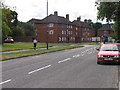
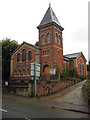
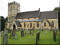
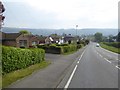
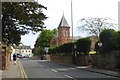
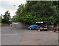
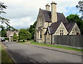
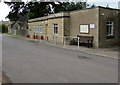
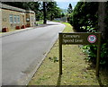
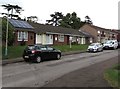
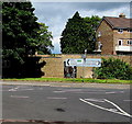
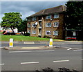
82 photos from this area
Area Information
Key information about the GL52 3DG including its size, population, and administrative classification.
- Area Type
- Postcode
- Area Size
- 1.8 hectares
- Population
- 1237
- Population Density
- 3784 people/km²
House Prices in GL52 3DG
36
Properties
£262,983
Average Sold Price
£70,000
Lowest Price
£587,500
Highest Price
Showing 36 properties
| Address | Type | Beds | Baths | Last Sale Price | Last Sale Date | |
|---|---|---|---|---|---|---|
| 28 Glebe Road, Prestbury, Cheltenham, GL52 3DG | Semi-detached | 4 | 1 | £305,000 | Apr 2024 | |
| 14 Glebe Road, Prestbury, Cheltenham, GL52 3DG | Semi-detached | 4 | 1 | £505,000 | Dec 2023 | |
| 10 Glebe Road, Prestbury, Cheltenham, GL52 3DG | Semi-detached | 4 | 2 | £587,500 | Aug 2023 | |
| 20 Glebe Road, Prestbury, Cheltenham, GL52 3DG | Retail | 3 | 1 | £390,000 | Sep 2022 | |
| 2 Glebe Road, Prestbury, Cheltenham, GL52 3DG | Retail | 3 | 1 | £400,000 | Nov 2020 | |
| 33 Glebe Road, Prestbury, Cheltenham, GL52 3DG | Semi-detached | 4 | 2 | £310,000 | Oct 2020 | |
| 12 Glebe Road, Prestbury, Cheltenham, GL52 3DG | Semi-detached | 3 | 1 | £350,000 | Jan 2019 | |
| 31 Glebe Road, Prestbury, Cheltenham, GL52 3DG | Semi-detached | 4 | 1 | £330,500 | Apr 2017 | |
| 11 Glebe Road, Prestbury, Cheltenham, GL52 3DG | Semi-detached | 3 | - | £257,500 | Nov 2016 | |
| 27 Glebe Road, Prestbury, Cheltenham, GL52 3DG | Semi-detached | 3 | 2 | £270,000 | Sep 2016 |
Page 1 of 4
Energy Efficiency in GL52 3DG
Amenities
Schools
| Rank | School | Type | Entry gender | Ages |
|---|
Explore more schools in this area
Go to Schools tabDemographics
Household Size
Two person
most common
Accommodation Type
Houses
most common
Tenure
88
majority
Ethnic Group
White
most common
Religion
N/A
most common
Household Composition
N/A
most common
Age
47
median
Adults (30-64 years)
most common
Household Deprivation
N/A
with no deprivation
NS-SEC
45
in Lower managerial occupations
Explore more demographic insights in this area
Go to Demographics tabPlanning
Planning Constraints
- Flood RiskPremium
- Ramsar Wetland SitesPremium
- Area of Outstanding Natural BeautyPremium
- Protected Nature ReservePremium
- Protected WoodlandPremium