Area Overview for GL51 6TS
Photos of GL51 6TS
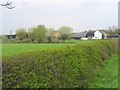

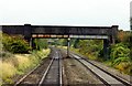
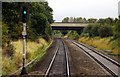
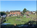
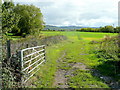
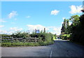
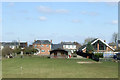
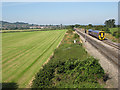
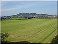
16 photos from this area
Area Information
Key information about the GL51 6TS including its size, population, and administrative classification.
- Area Type
- Postcode
- Area Size
- 1.4 hectares
- Population
- 1672
- Population Density
- 1816 people/km²
House Prices in GL51 6TS
24
Properties
£269,586
Average Sold Price
£42,000
Lowest Price
£572,500
Highest Price
Showing 24 properties
| Address | Type | Beds | Baths | Last Sale Price | Last Sale Date | |
|---|---|---|---|---|---|---|
| 18 Appleton Avenue, Cheltenham, GL51 6TS | Detached | 4 | 2 | £572,500 | May 2025 | |
| 6 Appleton Avenue, Cheltenham, GL51 6TS | house | - | - | £450,000 | May 2021 | |
| 17 Appleton Avenue, Cheltenham, GL51 6TS | Detached | 4 | 2 | £415,000 | Nov 2019 | |
| 21 Appleton Avenue, Cheltenham, GL51 6TS | Detached | 3 | 2 | £393,000 | Apr 2018 | |
| 15 Appleton Avenue, Cheltenham, GL51 6TS | house | - | - | £365,000 | Sep 2015 | |
| 16 Appleton Avenue, Cheltenham, GL51 6TS | Detached | 4 | 2 | £298,000 | Aug 2014 | |
| 1 Appleton Avenue, Cheltenham, GL51 6TS | Detached | 4 | - | £326,500 | Apr 2013 | |
| 9 Appleton Avenue, Cheltenham, GL51 6TS | house | - | - | £335,000 | Oct 2012 | |
| 12 Appleton Avenue, Cheltenham, GL51 6TS | house | 4 | - | £295,000 | Mar 2012 | |
| 11 Appleton Avenue, Cheltenham, GL51 6TS | house | - | - | £320,000 | May 2010 |
Page 1 of 3
Energy Efficiency in GL51 6TS
Amenities
Schools
| Rank | School | Type | Entry gender | Ages |
|---|
Explore more schools in this area
Go to Schools tabDemographics
Household Size
Two person
most common
Accommodation Type
Houses
most common
Tenure
86
majority
Ethnic Group
White
most common
Religion
N/A
most common
Household Composition
N/A
most common
Age
47
median
Adults (30-64 years)
most common
Household Deprivation
N/A
with no deprivation
NS-SEC
39
in Lower managerial occupations
Explore more demographic insights in this area
Go to Demographics tabPlanning
Planning Constraints
- Flood RiskPremium
- Ramsar Wetland SitesPremium
- Area of Outstanding Natural BeautyPremium
- Protected Nature ReservePremium
- Protected WoodlandPremium