Area Overview for GL51 3AX
Photos of GL51 3AX


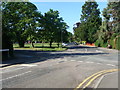
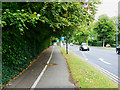
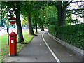
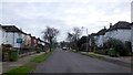
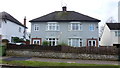
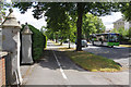
100 photos from this area
Area Information
Key information about the GL51 3AX including its size, population, and administrative classification.
- Area Type
- Postcode
- Area Size
- 2405 m²
- Population
- 1358
- Population Density
- 2697 people/km²
House Prices in GL51 3AX
7
Properties
£262,500
Average Sold Price
£151,000
Lowest Price
£390,000
Highest Price
Showing 7 properties
| Address | Type | Beds | Baths | Last Sale Price | Last Sale Date | |
|---|---|---|---|---|---|---|
| 16 Winton Road, Hatherley, Cheltenham, GL51 3AX | Retail | 2 | 2 | £390,000 | Nov 2022 | |
| Jalna, 13 Winton Road, Hatherley, Cheltenham, GL51 3AX | Bungalow | - | - | £308,000 | Dec 2020 | |
| 15 Winton Road, Hatherley, Cheltenham, GL51 3AX | Semi-detached | 2 | 1 | £295,000 | Jan 2019 | |
| Esdale, 14 Winton Road, Hatherley, Cheltenham, GL51 3AX | Bungalow | - | - | £240,000 | Feb 2017 | |
| Wynters, 18 Winton Road, Hatherley, Cheltenham, GL51 3AX | Bungalow | 2 | 1 | £191,000 | Apr 2005 | |
| Deansfield, 17 Winton Road, Hatherley, Cheltenham, GL51 3AX | Bungalow | - | - | £151,000 | Dec 2002 | |
| Paton Place, Winton Road, Hatherley, Cheltenham, GL51 3AX | Semi-detached | - | - | - | - |
Energy Efficiency in GL51 3AX
Amenities
Schools
| Rank | School | Type | Entry gender | Ages |
|---|
Explore more schools in this area
Go to Schools tabDemographics
Household Size
Two person
most common
Accommodation Type
Houses
most common
Tenure
87
majority
Ethnic Group
White
most common
Religion
N/A
most common
Household Composition
N/A
most common
Age
47
median
Adults (30-64 years)
most common
Household Deprivation
N/A
with no deprivation
NS-SEC
40
in Lower managerial occupations
Explore more demographic insights in this area
Go to Demographics tabPlanning
Planning Constraints
- Flood RiskPremium
- Ramsar Wetland SitesPremium
- Area of Outstanding Natural BeautyPremium
- Protected Nature ReservePremium
- Protected WoodlandPremium