Area Overview for GL51 0PL
Photos of GL51 0PL
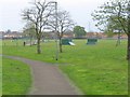
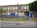
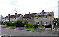
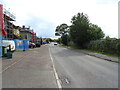
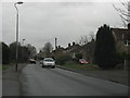
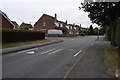
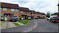
9 photos from this area
Area Information
Key information about the GL51 0PL including its size, population, and administrative classification.
- Area Type
- Postcode
- Area Size
- 2836 m²
- Population
- 1463
- Population Density
- 2220 people/km²
House Prices in GL51 0PL
10
Properties
£166,463
Average Sold Price
£53,500
Lowest Price
£269,950
Highest Price
Showing 10 properties
| Address | Type | Beds | Baths | Last Sale Price | Last Sale Date | |
|---|---|---|---|---|---|---|
| 38 Springbank Way, Cheltenham, GL51 0PL | Semi-detached | 3 | 1 | £269,950 | Mar 2021 | |
| 52 Springbank Way, Cheltenham, GL51 0PL | Semi-detached | 3 | - | £173,000 | Jun 2015 | |
| 42 Springbank Way, Cheltenham, GL51 0PL | house | 3 | - | £166,250 | Jan 2014 | |
| 54 Springbank Way, Cheltenham, GL51 0PL | house | 3 | - | £168,000 | May 2011 | |
| 50 Springbank Way, Cheltenham, GL51 0PL | house | 3 | - | £186,000 | Feb 2011 | |
| 46 Springbank Way, Cheltenham, GL51 0PL | Terraced | - | - | £140,000 | Sep 2008 | |
| 56 Springbank Way, Cheltenham, GL51 0PL | Semi-detached | 4 | 2 | £175,000 | May 2006 | |
| 48 Springbank Way, Cheltenham, GL51 0PL | Terraced | - | - | £53,500 | Jul 1996 | |
| 40 Springbank Way, Cheltenham, GL51 0PL | Terraced | - | - | - | - | |
| 44 Springbank Way, Cheltenham, GL51 0PL | Terraced | - | - | - | - |
Energy Efficiency in GL51 0PL
Amenities
Schools
| Rank | School | Type | Entry gender | Ages |
|---|
Explore more schools in this area
Go to Schools tabDemographics
Household Size
Two person
most common
Accommodation Type
Houses
most common
Tenure
62
majority
Ethnic Group
White
most common
Religion
N/A
most common
Household Composition
N/A
most common
Age
47
median
Adults (30-64 years)
most common
Household Deprivation
N/A
with no deprivation
NS-SEC
28
in Lower managerial occupations
Explore more demographic insights in this area
Go to Demographics tabPlanning
Planning Constraints
- Flood RiskPremium
- Ramsar Wetland SitesPremium
- Area of Outstanding Natural BeautyPremium
- Protected Nature ReservePremium
- Protected WoodlandPremium