Area Overview for GL50 4HQ
Photos of GL50 4HQ

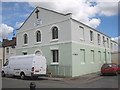
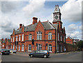
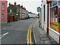
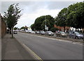
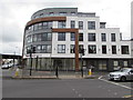
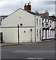
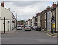
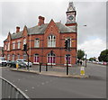

86 photos from this area
Area Information
Key information about the GL50 4HQ including its size, population, and administrative classification.
- Area Type
- Postcode
- Area Size
- 1751 m²
- Population
- 1827
- Population Density
- 14663 people/km²
House Prices in GL50 4HQ
9
Properties
£164,300
Average Sold Price
£27,000
Lowest Price
£250,000
Highest Price
Showing 9 properties
| Address | Type | Beds | Baths | Last Sale Price | Last Sale Date | |
|---|---|---|---|---|---|---|
| 44 Hanover Street, Cheltenham, GL50 4HQ | Terraced | 2 | 1 | £250,000 | Jan 2024 | |
| 38 Hanover Street, Cheltenham, GL50 4HQ | Terraced | 2 | 1 | £200,000 | Nov 2022 | |
| 40 Hanover Street, Cheltenham, GL50 4HQ | Terraced | 2 | 1 | £174,500 | Oct 2019 | |
| 42 Hanover Street, Cheltenham, GL50 4HQ | Terraced | - | - | £170,000 | Dec 2015 | |
| 46 Hanover Street, Cheltenham, GL50 4HQ | Terraced | - | - | £27,000 | Dec 1998 | |
| 48 Hanover Street, Cheltenham, GL50 4HQ | Terraced | 3 | 1 | - | - | |
| 36B Hanover Street, Cheltenham, GL50 4HQ | Terraced | 2 | 1 | - | - | |
| 36A Hanover Street, Cheltenham, GL50 4HQ | house | 4 | - | - | - | |
| 50 Hanover Street, Cheltenham, GL50 4HQ | house | - | - | - | - |
Energy Efficiency in GL50 4HQ
Amenities
Schools
| Rank | School | Type | Entry gender | Ages |
|---|
Explore more schools in this area
Go to Schools tabDemographics
Household Size
Family (3-5 people)
most common
Accommodation Type
Houses
most common
Tenure
32
majority
Ethnic Group
White
most common
Religion
N/A
most common
Household Composition
N/A
most common
Age
22
median
Young Adults (15-29 years)
most common
Household Deprivation
N/A
with no deprivation
NS-SEC
20
in Lower managerial occupations
Explore more demographic insights in this area
Go to Demographics tabPlanning
Planning Constraints
- Flood RiskPremium
- Ramsar Wetland SitesPremium
- Area of Outstanding Natural BeautyPremium
- Protected Nature ReservePremium
- Protected WoodlandPremium