Area Overview for GL50 4AP
Photos of GL50 4AP
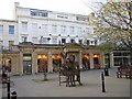
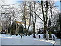
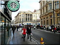
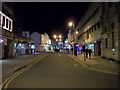
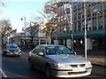

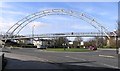


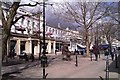

100 photos from this area
Area Information
Key information about the GL50 4AP including its size, population, and administrative classification.
- Area Type
- Postcode
- Area Size
- 1.1 hectares
- Population
- 1469
- Population Density
- 8148 people/km²
House Prices in GL50 4AP
52
Properties
£252,997
Average Sold Price
£160,000
Lowest Price
£380,750
Highest Price
Showing 52 properties
| Address | Type | Beds | Baths | Last Sale Price | Last Sale Date | |
|---|---|---|---|---|---|---|
| 42 Dunalley Street, Cheltenham, GL50 4AP | Terraced | 3 | 2 | £335,000 | Sep 2024 | |
| 40 Dunalley Street, Cheltenham, GL50 4AP | Terraced | 3 | 2 | £317,500 | Jul 2024 | |
| 25 Dunalley Street, Cheltenham, GL50 4AP | Terraced | 3 | 2 | £380,750 | Jul 2022 | |
| 38 Dunalley Street, Cheltenham, GL50 4AP | house | 3 | - | £285,000 | Jul 2020 | |
| 30 Dunalley Street, Cheltenham, GL50 4AP | Terraced | 2 | 1 | £258,000 | Dec 2019 | |
| 36 Dunalley Street, Cheltenham, GL50 4AP | Terraced | 3 | 3 | £230,000 | Jul 2017 | |
| 21 Dunalley Street, Cheltenham, GL50 4AP | Flat | 2 | 2 | £280,000 | Jun 2017 | |
| 28 DUNALLEY STREET, Cheltenham, GL50 4AP | Flat | 3 | 2 | £265,000 | Sep 2014 | |
| 23 Dunalley Street, Cheltenham, GL50 4AP | Terraced | 3 | - | £244,000 | Dec 2013 | |
| Glenhurst Villa, Dunalley Street, Cheltenham, GL50 4AP | house | - | - | £160,000 | Jan 2009 |
Page 1 of 6
Energy Efficiency in GL50 4AP
Amenities
Schools
| Rank | School | Type | Entry gender | Ages |
|---|
Explore more schools in this area
Go to Schools tabDemographics
Household Size
One person
most common
Accommodation Type
Flats
most common
Tenure
27
majority
Ethnic Group
White
most common
Religion
N/A
most common
Household Composition
N/A
most common
Age
22
median
Young Adults (15-29 years)
most common
Household Deprivation
N/A
with no deprivation
NS-SEC
29
in Lower managerial occupations
Explore more demographic insights in this area
Go to Demographics tabPlanning
Planning Constraints
- Flood RiskPremium
- Ramsar Wetland SitesPremium
- Area of Outstanding Natural BeautyPremium
- Protected Nature ReservePremium
- Protected WoodlandPremium