Area Overview for GL50 2DH
Photos of GL50 2DH
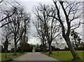
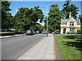

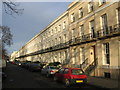

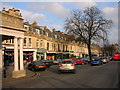
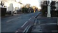
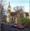
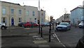
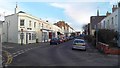
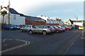
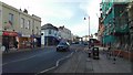
100 photos from this area
Area Information
Key information about the GL50 2DH including its size, population, and administrative classification.
- Area Type
- Postcode
- Area Size
- 2672 m²
- Population
- 1520
- Population Density
- 6156 people/km²
House Prices in GL50 2DH
15
Properties
£409,994
Average Sold Price
£135,000
Lowest Price
£870,000
Highest Price
Showing 15 properties
| Address | Type | Beds | Baths | Last Sale Price | Last Sale Date | |
|---|---|---|---|---|---|---|
| 2 Suffolk Street, Cheltenham, GL50 2DH | Terraced | 3 | 2 | £870,000 | Aug 2024 | |
| 5A Suffolk Street, Cheltenham, GL50 2DH | Semi-detached | 3 | 2 | £685,000 | Oct 2023 | |
| 7A Suffolk Street, Cheltenham, GL50 2DH | Flat | 1 | 1 | £135,000 | Jul 2020 | |
| 1 Suffolk Street, Cheltenham, GL50 2DH | Terraced | 4 | 3 | £525,000 | Jun 2018 | |
| 6 Suffolk Street, Cheltenham, GL50 2DH | Terraced | 2 | 1 | £467,500 | Oct 2016 | |
| 7B Suffolk Street, Cheltenham, GL50 2DH | Terraced | 2 | 1 | £239,950 | Jan 2016 | |
| 7C Suffolk Street, Cheltenham, GL50 2DH | Terraced | 2 | 1 | £190,000 | Jan 2013 | |
| 5B Suffolk Street, Cheltenham, GL50 2DH | Terraced | - | - | £167,500 | Nov 1999 | |
| Redvers, Suffolk Street, Cheltenham, GL50 2DH | Semi-detached | 3 | - | - | - | |
| Basement Flat, 4 Suffolk Street, Cheltenham, GL50 2DH | Flat | 3 | 1 | - | - |
Page 1 of 2
Energy Efficiency in GL50 2DH
Amenities
Schools
| Rank | School | Type | Entry gender | Ages |
|---|
Explore more schools in this area
Go to Schools tabDemographics
Household Size
One person
most common
Accommodation Type
Houses
most common
Tenure
60
majority
Ethnic Group
White
most common
Religion
N/A
most common
Household Composition
N/A
most common
Age
47
median
Adults (30-64 years)
most common
Household Deprivation
N/A
with no deprivation
NS-SEC
52
in Lower managerial occupations
Explore more demographic insights in this area
Go to Demographics tabPlanning
Planning Constraints
- Flood RiskPremium
- Ramsar Wetland SitesPremium
- Area of Outstanding Natural BeautyPremium
- Protected Nature ReservePremium
- Protected WoodlandPremium