Area Overview for GL4 8JA
Photos of GL4 8JA
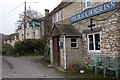
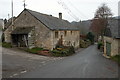
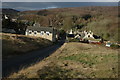
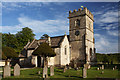
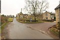
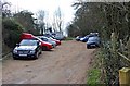
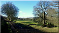
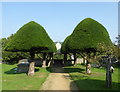
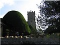
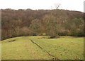
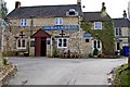
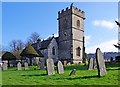
29 photos from this area
Area Information
Key information about the GL4 8JA including its size, population, and administrative classification.
- Area Type
- Postcode
- Area Size
- 11.4 hectares
- Population
- 1620
- Population Density
- 58 people/km²
House Prices in GL4 8JA
8
Properties
£447,500
Average Sold Price
£275,000
Lowest Price
£660,000
Highest Price
Showing 8 properties
| Address | Type | Beds | Baths | Last Sale Price | Last Sale Date | |
|---|---|---|---|---|---|---|
| Merienda, Road From Batch Farm To Hillfield, Cranham, GL4 8JA | Bungalow | - | - | £500,000 | May 2020 | |
| Whistledown, Road From Batch Farm To Hillfield, Cranham, GL4 8JA | Bungalow | 3 | - | £305,000 | May 2012 | |
| Stonecrop, Road From Batch Farm To Hillfield, Cranham, GL4 8JA | Bungalow | 3 | - | £275,000 | Sep 2011 | |
| April Cottage, Road From Batch Farm To Hillfield, Cranham, GL4 8JA | house | - | - | £660,000 | Jan 2011 | |
| Knowle Cottage, Road From Batch Farm To Hillfield, Cranham, GL4 8JA | Detached | 1 | 1 | £497,500 | Jan 2006 | |
| Knowle Cottage, Road From Batch Farm To Hillfield, Cranham, GL4 8JA | Detached | - | - | - | - | |
| Hill Top, Road From Batch Farm To Hillfield, Cranham, GL4 8JA | house | - | - | - | - | |
| Mobile Home At Knowle Cottage, Road From Batch Farm To Hillfield, Cranham, GL4 8JA | Mobile Home | - | - | - | - |
Energy Efficiency in GL4 8JA
Amenities
Schools
| Rank | School | Type | Entry gender | Ages |
|---|
Explore more schools in this area
Go to Schools tabDemographics
Household Size
Two person
most common
Accommodation Type
Houses
most common
Tenure
82
majority
Ethnic Group
White
most common
Religion
N/A
most common
Household Composition
N/A
most common
Age
47
median
Adults (30-64 years)
most common
Household Deprivation
N/A
with no deprivation
NS-SEC
50
in Lower managerial occupations
Explore more demographic insights in this area
Go to Demographics tabPlanning
Planning Constraints
- Flood RiskPremium
- Ramsar Wetland SitesPremium
- Area of Outstanding Natural BeautyPremium
- Protected Nature ReservePremium
- Protected WoodlandPremium