Area Overview for GL4 6SE
Photos of GL4 6SE
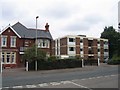
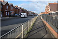
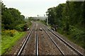
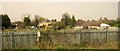
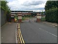
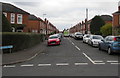
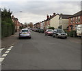
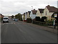
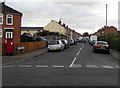
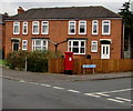
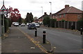
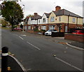
48 photos from this area
Area Information
Key information about the GL4 6SE including its size, population, and administrative classification.
- Area Type
- Postcode
- Area Size
- 2.3 hectares
- Population
- 1414
- Population Density
- 3157 people/km²
House Prices in GL4 6SE
28
Properties
£271,080
Average Sold Price
£60,000
Lowest Price
£475,000
Highest Price
Showing 28 properties
| Address | Type | Beds | Baths | Last Sale Price | Last Sale Date | |
|---|---|---|---|---|---|---|
| 165 Finlay Road, Gloucester, GL4 6SE | Detached | 4 | 1 | £475,000 | Dec 2024 | |
| 151 Finlay Road, Gloucester, GL4 6SE | Detached | 3 | 1 | £460,000 | Aug 2024 | |
| 153 Finlay Road, Gloucester, GL4 6SE | Detached | 3 | 2 | £400,000 | Dec 2022 | |
| 123 Finlay Road, Gloucester, GL4 6SE | Detached | 3 | 2 | £365,000 | Mar 2021 | |
| 125 Finlay Road, Gloucester, GL4 6SE | Detached | 3 | 3 | £349,950 | Dec 2020 | |
| 149 Finlay Road, Gloucester, GL4 6SE | Detached | 3 | 1 | £364,000 | Jul 2019 | |
| 155 Finlay Road, Gloucester, GL4 6SE | Detached | 3 | 1 | £325,000 | Aug 2018 | |
| 157 Finlay Road, Gloucester, GL4 6SE | Detached | 4 | 1 | £330,000 | Feb 2018 | |
| 145 Finlay Road, Gloucester, GL4 6SE | Semi-detached | 3 | 1 | £252,500 | Feb 2018 | |
| 163 Finlay Road, Gloucester, GL4 6SE | house | - | - | £300,000 | Jul 2017 |
Page 1 of 3
Energy Efficiency in GL4 6SE
Amenities
Schools
| Rank | School | Type | Entry gender | Ages |
|---|
Explore more schools in this area
Go to Schools tabDemographics
Household Size
Two person
most common
Accommodation Type
Houses
most common
Tenure
77
majority
Ethnic Group
White
most common
Religion
N/A
most common
Household Composition
N/A
most common
Age
47
median
Adults (30-64 years)
most common
Household Deprivation
N/A
with no deprivation
NS-SEC
31
in Lower managerial occupations
Explore more demographic insights in this area
Go to Demographics tabPlanning
Planning Constraints
- Flood RiskPremium
- Ramsar Wetland SitesPremium
- Area of Outstanding Natural BeautyPremium
- Protected Nature ReservePremium
- Protected WoodlandPremium