Area Overview for GL3 4JL
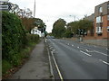
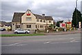
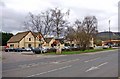
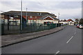
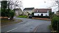
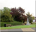
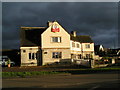
Photos of GL3 4JL

Area Information
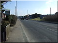
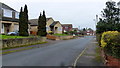
Living in GL3 4JL means inhabiting a compact, densely populated residential cluster in England. With a population of 1,630 spread across just 7,654 square metres, the area is characterised by its high population density of 212,974 people per square kilometre. This small postcode area is primarily composed of houses, reflecting a community rooted in traditional housing. The median age of 47 suggests a mature demographic, with most residents falling within the 30–64 age range. Daily life here is shaped by proximity to essential services and a mix of local schools. The area’s small size means residents are likely to know their neighbours, though the high density could influence the pace of life. Proximity to Gloucester and Cheltenham railway stations, along with nearby retail outlets like Tesco and Morrisons, ensures practical access to amenities. For those prioritising connectivity, the area’s broadband score of 99 and mobile coverage of 82 make it well-suited for remote work or digital reliance. However, the community’s character is defined by its balance of residential tranquillity and accessible infrastructure, making it a viable option for those seeking a compact, well-serviced living environment.
- Area Type
- Postcode
- Area Size
- 7654 m²
- Population
- 1630
- Population Density
- 3377 people/km²
The property market in GL3 4JL is dominated by houses, with 51% of residents owning their homes. This suggests a mix of owner-occupied properties and rental units, though the exact proportion of the latter is not specified. The area’s small size and high population density mean housing stock is limited, potentially creating a competitive market for buyers. The prevalence of houses over flats or apartments may appeal to those seeking larger living spaces, though the compact postcode area implies proximity to neighbours. For buyers, this could mean limited availability of new properties, necessitating a focus on the immediate surrounding areas. The high population density also raises questions about long-term property value stability, as demand from a concentrated population may influence prices. Those considering GL3 4JL should assess whether the local market aligns with their investment goals, particularly given the area’s reliance on traditional housing.
House Prices in GL3 4JL
No properties found in this postcode.
Energy Efficiency in GL3 4JL
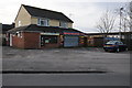
The lifestyle in GL3 4JL is shaped by its proximity to essential amenities. Retail options include Morrisons Daily Brockworth 6, Co-op Abbotswood, and Tesco Gloucester, ensuring everyday shopping needs are met. The area’s rail links to Gloucester and Cheltenham Spa stations provide access to broader regional networks, while three Gloucestershire Airport entries suggest convenient travel options. Though the data does not specify parks or leisure facilities, the high population density implies shared green spaces may be limited. The compact nature of the area means residents can access shops, transport, and airports within short distances, fostering a practical, convenience-driven lifestyle. However, the lack of explicit details on leisure or recreational facilities means potential buyers should investigate local offerings further.
Amenities
Schools
Residents of GL3 4JL have access to a range of primary schools, including Brockworth Primary School, Brockworth Enterprise School, Brockworth Infant School, and Brockworth Primary Academy, which holds a ‘good’ Ofsted rating. Millbrook Academy, an academy, provides additional educational options. The concentration of primary schools suggests a strong focus on early education, which may be beneficial for families with young children. The presence of multiple schools, including one with a good rating, indicates a competitive educational landscape. However, the absence of secondary schools in the immediate area means students may need to commute to nearby towns for higher education. This mix of school types offers diversity in teaching approaches but could require careful planning for families seeking a specific curriculum or ethos.
| Rank | School | Type | Entry gender | Ages |
|---|
Explore more schools in this area
Go to Schools tabDemographics
The community in GL3 4JL is predominantly composed of adults aged 30–64, with a median age of 47. This suggests a mature, settled population, likely with established careers and family ties. Home ownership stands at 51%, indicating a mix of owner-occupied properties and rentals. The accommodation type is primarily houses, which may appeal to families seeking more space. The predominant ethnic group is White, though no data is provided on other demographics. The population density of 212,974 people per square kilometre is exceptionally high, reflecting a tightly packed residential area. This density could influence social dynamics, fostering a close-knit community but potentially limiting personal space. The age profile implies a population with a strong presence of working-age adults, which may support local businesses and services. However, the high density also means resources and amenities must serve a concentrated population, which could impact availability or demand.
Household Size
Accommodation Type
Tenure
Ethnic Group
Religion
Household Composition
Age
Household Deprivation
NS-SEC
Explore more demographic insights in this area
Go to Demographics tabPlanning
Planning Constraints
- Flood RiskPremium
- Ramsar Wetland SitesPremium
- Area of Outstanding Natural BeautyPremium
- Protected Nature ReservePremium
- Protected WoodlandPremium