Area Overview for GL2 9HS
Photos of GL2 9HS

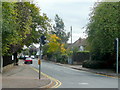
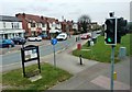
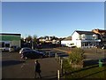
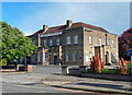
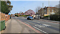
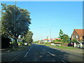
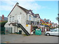
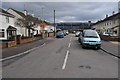


15 photos from this area
Area Information
Key information about the GL2 9HS including its size, population, and administrative classification.
- Area Type
- Postcode
- Area Size
- 1.2 hectares
- Population
- 1714
- Population Density
- 3502 people/km²
House Prices in GL2 9HS
16
Properties
£322,400
Average Sold Price
£89,000
Lowest Price
£670,000
Highest Price
Showing 16 properties
| Address | Type | Beds | Baths | Last Sale Price | Last Sale Date | |
|---|---|---|---|---|---|---|
| 111 Oxstalls Lane, Gloucester, GL2 9HS | Detached | 4 | 2 | £548,500 | Dec 2024 | |
| 123 Oxstalls Lane, Gloucester, GL2 9HS | Semi-detached | 3 | 1 | £375,000 | Jan 2022 | |
| 99 Oxstalls Lane, Gloucester, GL2 9HS | Semi-detached | 3 | - | £670,000 | May 2021 | |
| 103 Oxstalls Lane, Gloucester, GL2 9HS | Detached | 3 | - | £430,000 | Apr 2016 | |
| 119 Oxstalls Lane, Gloucester, GL2 9HS | Detached | 4 | 2 | £460,000 | Sep 2015 | |
| 105 Oxstalls Lane, Gloucester, GL2 9HS | Detached | - | - | £282,500 | Feb 2003 | |
| 127 Oxstalls Lane, Gloucester, GL2 9HS | Detached | - | - | £150,000 | May 2002 | |
| 131 Oxstalls Lane, Gloucester, GL2 9HS | Detached | - | - | £124,000 | Sep 1998 | |
| 129 Oxstalls Lane, Gloucester, GL2 9HS | Detached | - | - | £89,000 | Jun 1996 | |
| 115 Oxstalls Lane, Gloucester, GL2 9HS | Detached | - | - | £95,000 | Mar 1995 |
Page 1 of 2
Energy Efficiency in GL2 9HS
Amenities
Schools
| Rank | School | Type | Entry gender | Ages |
|---|
Explore more schools in this area
Go to Schools tabDemographics
Household Size
Two person
most common
Accommodation Type
Houses
most common
Tenure
93
majority
Ethnic Group
White
most common
Religion
N/A
most common
Household Composition
N/A
most common
Age
47
median
Adults (30-64 years)
most common
Household Deprivation
N/A
with no deprivation
NS-SEC
37
in Lower managerial occupations
Explore more demographic insights in this area
Go to Demographics tabPlanning
Planning Constraints
- Flood RiskPremium
- Ramsar Wetland SitesPremium
- Area of Outstanding Natural BeautyPremium
- Protected Nature ReservePremium
- Protected WoodlandPremium