Area Overview for GL2 8HT
Photos of GL2 8HT
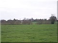


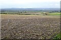
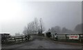
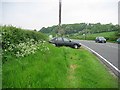
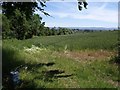
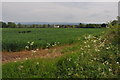
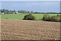

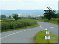
19 photos from this area
Area Information
Key information about the GL2 8HT including its size, population, and administrative classification.
- Area Type
- Postcode
- Area Size
- 1.2 km²
- Population
- 1487
- Population Density
- 155 people/km²
House Prices in GL2 8HT
14
Properties
£396,875
Average Sold Price
£105,000
Lowest Price
£675,000
Highest Price
Showing 14 properties
| Address | Type | Beds | Baths | Last Sale Price | Last Sale Date | |
|---|---|---|---|---|---|---|
| Woolridge Cottage, Old Road, Maisemore, Gloucester, GL2 8HT | Detached | 2 | 1 | £650,000 | Jul 2024 | |
| Angus Cottage, Old Road, Maisemore, Gloucester, GL2 8HT | house | 3 | 3 | £530,000 | May 2022 | |
| The Bungalow, Old Road, Maisemore, Gloucester, GL2 8HT | Bungalow | 4 | 2 | £350,000 | Nov 2014 | |
| Spring Hill House, Old Road, Maisemore, Gloucester, GL2 8HT | house | 6 | - | £675,000 | Jun 2009 | |
| Upper Hyde, Old Road, Maisemore, Gloucester, GL2 8HT | house | - | - | £385,000 | Aug 2008 | |
| Dorothy Cottage, Old Road, Maisemore, Gloucester, GL2 8HT | Cottage | 2 | 1 | £230,000 | Aug 2007 | |
| Hill View, Old Road, Maisemore, Gloucester, GL2 8HT | Detached | - | - | £250,000 | Feb 2002 | |
| Magnolia, Old Road, Maisemore, Gloucester, GL2 8HT | Detached | - | - | £105,000 | Jun 1997 | |
| Mazefield, Old Road, Maisemore, Gloucester, GL2 8HT | Detached | 4 | 3 | - | - | |
| Lower Hyde, Old Road, Maisemore, Gloucester, GL2 8HT | Semi-detached | - | - | - | - |
Page 1 of 2
Energy Efficiency in GL2 8HT
Amenities
Schools
| Rank | School | Type | Entry gender | Ages |
|---|
Explore more schools in this area
Go to Schools tabDemographics
Household Size
Two person
most common
Accommodation Type
Houses
most common
Tenure
87
majority
Ethnic Group
White
most common
Religion
N/A
most common
Household Composition
N/A
most common
Age
47
median
Adults (30-64 years)
most common
Household Deprivation
N/A
with no deprivation
NS-SEC
47
in Lower managerial occupations
Explore more demographic insights in this area
Go to Demographics tabPlanning
Planning Constraints
- Flood RiskPremium
- Ramsar Wetland SitesPremium
- Area of Outstanding Natural BeautyPremium
- Protected Nature ReservePremium
- Protected WoodlandPremium