Area Overview for GL2 8DJ
Photos of GL2 8DJ
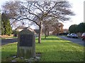
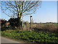
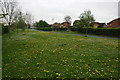
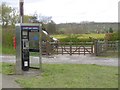
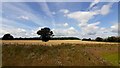
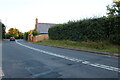
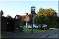
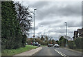
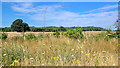
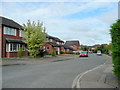

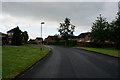
21 photos from this area
Area Information
Key information about the GL2 8DJ including its size, population, and administrative classification.
- Area Type
- Postcode
- Area Size
- 5.6 hectares
- Population
- 1633
- Population Density
- 104 people/km²
House Prices in GL2 8DJ
65
Properties
£356,691
Average Sold Price
£89,000
Lowest Price
£750,000
Highest Price
Showing 65 properties
| Address | Type | Beds | Baths | Last Sale Price | Last Sale Date | |
|---|---|---|---|---|---|---|
| 73 Maidenhall, Highnam, Gloucester, GL2 8DJ | Detached | 3 | 1 | £550,000 | Jul 2025 | |
| 95 Maidenhall, Highnam, Gloucester, GL2 8DJ | Bungalow | 3 | 2 | £525,000 | Feb 2025 | |
| 61 Maidenhall, Highnam, Gloucester, GL2 8DJ | house | 4 | 2 | £650,000 | Nov 2024 | |
| 125 Maidenhall, Highnam, Gloucester, GL2 8DJ | house | - | - | £110,237 | Jun 2024 | |
| 111 Maidenhall, Highnam, Gloucester, GL2 8DJ | house | - | - | £525,000 | Jan 2023 | |
| 113 Maidenhall, Highnam, Gloucester, GL2 8DJ | Retail | 4 | 2 | £456,500 | Nov 2022 | |
| 75 Maidenhall, Highnam, Gloucester, GL2 8DJ | Bungalow | 4 | 2 | £535,000 | Jun 2022 | |
| 115 Maidenhall, Highnam, Gloucester, GL2 8DJ | house | 4 | 2 | £570,000 | May 2022 | |
| 141 Maidenhall, Highnam, Gloucester, GL2 8DJ | Semi-detached | 5 | 2 | £455,000 | Nov 2020 | |
| 147 Maidenhall, Highnam, Gloucester, GL2 8DJ | Detached | 3 | 1 | £445,000 | Oct 2020 |
Page 1 of 7
Energy Efficiency in GL2 8DJ
Amenities
Schools
| Rank | School | Type | Entry gender | Ages |
|---|
Explore more schools in this area
Go to Schools tabDemographics
Household Size
Two person
most common
Accommodation Type
Houses
most common
Tenure
85
majority
Ethnic Group
White
most common
Religion
N/A
most common
Household Composition
N/A
most common
Age
47
median
Adults (30-64 years)
most common
Household Deprivation
N/A
with no deprivation
NS-SEC
46
in Lower managerial occupations
Explore more demographic insights in this area
Go to Demographics tabPlanning
Planning Constraints
- Flood RiskPremium
- Ramsar Wetland SitesPremium
- Area of Outstanding Natural BeautyPremium
- Protected Nature ReservePremium
- Protected WoodlandPremium