Area Overview for GL2 5FX
Photos of GL2 5FX
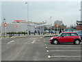
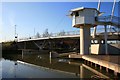
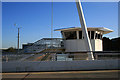
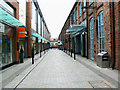
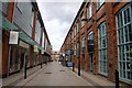
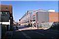
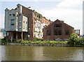
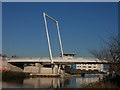
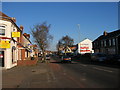
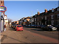
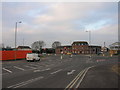
100 photos from this area
Area Information
Key information about the GL2 5FX including its size, population, and administrative classification.
- Area Type
- Postcode
- Area Size
- 4741 m²
- Population
- 1934
- Population Density
- 743 people/km²
House Prices in GL2 5FX
12
Properties
£179,128
Average Sold Price
£132,003
Lowest Price
£282,500
Highest Price
Showing 12 properties
| Address | Type | Beds | Baths | Last Sale Price | Last Sale Date | |
|---|---|---|---|---|---|---|
| 1 Drydock Way, Gloucester, GL2 5FX | Semi-detached | 3 | 2 | £282,500 | Dec 2022 | |
| 4 Drydock Way, Gloucester, GL2 5FX | Detached | 3 | 2 | £247,000 | Nov 2019 | |
| 5 Drydock Way, Gloucester, GL2 5FX | Flat | 1 | - | £165,000 | Nov 2018 | |
| 15 Drydock Way, Gloucester, GL2 5FX | Flat | 1 | 1 | £140,000 | Feb 2018 | |
| 6 Drydock Way, Gloucester, GL2 5FX | Semi-detached | 2 | 3 | £176,000 | Feb 2017 | |
| 8 Drydock Way, Gloucester, GL2 5FX | Semi-detached | 3 | 3 | £194,000 | Feb 2016 | |
| 2 Drydock Way, Gloucester, GL2 5FX | house | - | - | £159,950 | Nov 2011 | |
| 17 Drydock Way, Gloucester, GL2 5FX | house | 2 | - | £168,000 | Feb 2010 | |
| 7 Drydock Way, Gloucester, GL2 5FX | Semi-detached | 3 | 2 | £170,953 | Jan 2010 | |
| 11 Drydock Way, Gloucester, GL2 5FX | Terraced | 2 | - | £135,000 | Jan 2010 |
Page 1 of 2
Energy Efficiency in GL2 5FX
Amenities
Schools
| Rank | School | Type | Entry gender | Ages |
|---|
Explore more schools in this area
Go to Schools tabDemographics
Household Size
Two person
most common
Accommodation Type
Houses
most common
Tenure
74
majority
Ethnic Group
White
most common
Religion
N/A
most common
Household Composition
N/A
most common
Age
47
median
Adults (30-64 years)
most common
Household Deprivation
N/A
with no deprivation
NS-SEC
43
in Lower managerial occupations
Explore more demographic insights in this area
Go to Demographics tabPlanning
Planning Constraints
- Flood RiskPremium
- Ramsar Wetland SitesPremium
- Area of Outstanding Natural BeautyPremium
- Protected Nature ReservePremium
- Protected WoodlandPremium