Area Overview for GL2 0SF
Photos of GL2 0SF
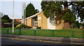

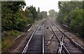
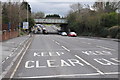
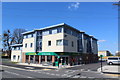
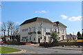
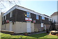
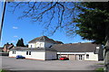
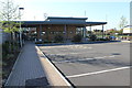
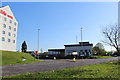
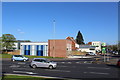
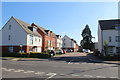
65 photos from this area
Area Information
Key information about the GL2 0SF including its size, population, and administrative classification.
- Area Type
- Postcode
- Area Size
- 8647 m²
- Population
- 1634
- Population Density
- 4816 people/km²
House Prices in GL2 0SF
21
Properties
£163,573
Average Sold Price
£58,000
Lowest Price
£340,000
Highest Price
Showing 21 properties
| Address | Type | Beds | Baths | Last Sale Price | Last Sale Date | |
|---|---|---|---|---|---|---|
| 63 Barnwood Road, Gloucester, GL2 0SF | Terraced | 3 | 1 | £245,000 | Jan 2023 | |
| 79 Barnwood Road, Gloucester, GL2 0SF | house | - | - | £340,000 | Feb 2022 | |
| 69 Barnwood Road, Gloucester, GL2 0SF | house | 3 | - | £252,500 | Dec 2015 | |
| 61 Barnwood Road, Gloucester, GL2 0SF | house | 2 | 1 | £142,000 | Oct 2014 | |
| 55 Barnwood Road, Gloucester, GL2 0SF | Detached | 3 | - | £149,950 | Dec 2007 | |
| 77 Barnwood Road, Gloucester, GL2 0SF | Semi-detached | - | - | £193,000 | Apr 2007 | |
| 53 Barnwood Road, Gloucester, GL2 0SF | house | 2 | 4 | £96,000 | Oct 2006 | |
| 57 Barnwood Road, Gloucester, GL2 0SF | house | - | - | £132,000 | Aug 2006 | |
| 85 Barnwood Road, Gloucester, GL2 0SF | Semi-detached | - | - | £203,000 | May 2006 | |
| 73 Barnwood Road, Gloucester, GL2 0SF | Detached | 3 | 1 | £150,000 | Dec 2005 |
Page 1 of 3
Energy Efficiency in GL2 0SF
Amenities
Schools
| Rank | School | Type | Entry gender | Ages |
|---|
Explore more schools in this area
Go to Schools tabDemographics
Household Size
Family (3-5 people)
most common
Accommodation Type
Houses
most common
Tenure
80
majority
Ethnic Group
White
most common
Religion
N/A
most common
Household Composition
N/A
most common
Age
47
median
Adults (30-64 years)
most common
Household Deprivation
N/A
with no deprivation
NS-SEC
42
in Lower managerial occupations
Explore more demographic insights in this area
Go to Demographics tabPlanning
Planning Constraints
- Flood RiskPremium
- Ramsar Wetland SitesPremium
- Area of Outstanding Natural BeautyPremium
- Protected Nature ReservePremium
- Protected WoodlandPremium