Area Overview for GL2 0RF
Photos of GL2 0RF

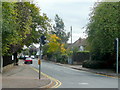
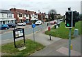
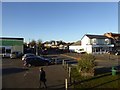
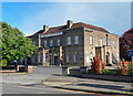
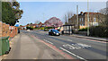
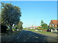
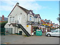
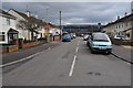


15 photos from this area
Area Information
Key information about the GL2 0RF including its size, population, and administrative classification.
- Area Type
- Postcode
- Area Size
- 8069 m²
- Population
- 1354
- Population Density
- 4481 people/km²
House Prices in GL2 0RF
18
Properties
£271,746
Average Sold Price
£82,500
Lowest Price
£404,000
Highest Price
Showing 18 properties
| Address | Type | Beds | Baths | Last Sale Price | Last Sale Date | |
|---|---|---|---|---|---|---|
| 57 Merevale Road, Gloucester, GL2 0RF | Semi-detached | 3 | 1 | £350,000 | Feb 2024 | |
| 69 Merevale Road, Gloucester, GL2 0RF | house | 3 | 1 | £324,000 | Feb 2023 | |
| 75 Merevale Road, Gloucester, GL2 0RF | house | - | - | £404,000 | Dec 2021 | |
| 59 Merevale Road, Gloucester, GL2 0RF | Semi-detached | 4 | 2 | £375,000 | Feb 2021 | |
| 65 Merevale Road, Gloucester, GL2 0RF | house | - | - | £282,000 | Jan 2021 | |
| 73 Merevale Road, Gloucester, GL2 0RF | house | - | - | £323,000 | Mar 2018 | |
| 77 Merevale Road, Gloucester, GL2 0RF | Detached | 3 | 1 | £333,000 | Mar 2018 | |
| 83 Merevale Road, Gloucester, GL2 0RF | Semi-detached | 3 | - | £249,950 | Sep 2014 | |
| 61 Merevale Road, Gloucester, GL2 0RF | house | 3 | - | £221,500 | Mar 2011 | |
| 67 Merevale Road, Gloucester, GL2 0RF | Semi-detached | 4 | 2 | £206,000 | Sep 2009 |
Page 1 of 2
Energy Efficiency in GL2 0RF
Amenities
Schools
| Rank | School | Type | Entry gender | Ages |
|---|
Explore more schools in this area
Go to Schools tabDemographics
Household Size
Family (3-5 people)
most common
Accommodation Type
Houses
most common
Tenure
90
majority
Ethnic Group
White
most common
Religion
N/A
most common
Household Composition
N/A
most common
Age
47
median
Adults (30-64 years)
most common
Household Deprivation
N/A
with no deprivation
NS-SEC
47
in Lower managerial occupations
Explore more demographic insights in this area
Go to Demographics tabPlanning
Planning Constraints
- Flood RiskPremium
- Ramsar Wetland SitesPremium
- Area of Outstanding Natural BeautyPremium
- Protected Nature ReservePremium
- Protected WoodlandPremium