Area Overview for GL18 1NQ
Photos of GL18 1NQ
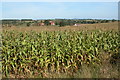
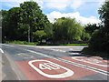
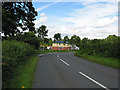
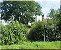
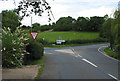
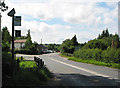
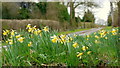
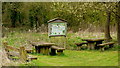
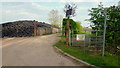
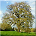
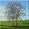
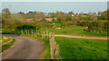
96 photos from this area
Area Information
Key information about the GL18 1NQ including its size, population, and administrative classification.
- Area Type
- Postcode
- Area Size
- 6.1 hectares
- Population
- 1798
- Population Density
- 69 people/km²
House Prices in GL18 1NQ
13
Properties
£296,583
Average Sold Price
£22,500
Lowest Price
£830,000
Highest Price
Showing 13 properties
| Address | Type | Beds | Baths | Last Sale Price | Last Sale Date | |
|---|---|---|---|---|---|---|
| Grassmere, Kilcot Lane, Kilcot, GL18 1NQ | Detached | 5 | 3 | £830,000 | Aug 2024 | |
| Rosemary Cottage, Kilcot Lane, Kilcot, GL18 1NQ | Cottage | 3 | 1 | £22,500 | Feb 2019 | |
| Yew Trees, Kilcot Lane, Kilcot, GL18 1NQ | Detached | 4 | - | £353,000 | Sep 2012 | |
| The Cottage, Kilcot Lane, Kilcot, GL18 1NQ | house | - | - | £260,000 | Oct 2010 | |
| Fairview, Kilcot Lane, Kilcot, GL18 1NQ | house | - | - | £149,000 | Dec 2006 | |
| Fairholm, Kilcot Lane, Kilcot, GL18 1NQ | Semi-detached | - | - | £165,000 | Nov 2006 | |
| The Caravan, Ellbrook House, Kilcot Lane, Kilcot, GL18 1NQ | Detached | 5 | 2 | - | - | |
| Alway Nurseries, Kilcot Lane, Kilcot, GL18 1NQ | Detached | 5 | 2 | - | - | |
| Hillview, Kilcot Lane, Kilcot, GL18 1NQ | Detached | 5 | 3 | - | - | |
| Kilcot House, Kilcot Lane, Kilcot, GL18 1NQ | Detached | 5 | 2 | - | - |
Page 1 of 2
Energy Efficiency in GL18 1NQ
Amenities
Schools
| Rank | School | Type | Entry gender | Ages |
|---|
Explore more schools in this area
Go to Schools tabDemographics
Household Size
Two person
most common
Accommodation Type
Houses
most common
Tenure
80
majority
Ethnic Group
White
most common
Religion
N/A
most common
Household Composition
N/A
most common
Age
47
median
Adults (30-64 years)
most common
Household Deprivation
N/A
with no deprivation
NS-SEC
35
in Lower managerial occupations
Explore more demographic insights in this area
Go to Demographics tabPlanning
Planning Constraints
- Flood RiskPremium
- Ramsar Wetland SitesPremium
- Area of Outstanding Natural BeautyPremium
- Protected Nature ReservePremium
- Protected WoodlandPremium