Area Overview for GL17 9QB
Photos of GL17 9QB
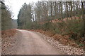
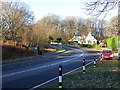
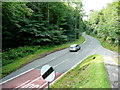
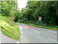
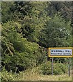
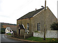
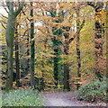
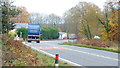
19 photos from this area
Area Information
Key information about the GL17 9QB including its size, population, and administrative classification.
- Area Type
- Postcode
- Area Size
- 19.0 hectares
- Population
- 1665
- Population Density
- 377 people/km²
House Prices in GL17 9QB
15
Properties
£400,825
Average Sold Price
£63,300
Lowest Price
£637,000
Highest Price
Showing 15 properties
| Address | Type | Beds | Baths | Last Sale Price | Last Sale Date | |
|---|---|---|---|---|---|---|
| Forest View, The Bourts, Lydbrook, GL17 9QB | Cottage | 3 | 2 | £518,000 | May 2025 | |
| Woodland View, The Bourts, Lydbrook, GL17 9QB | Detached | 3 | - | £637,000 | Apr 2024 | |
| The Bourts House, The Bourts, Lydbrook, GL17 9QB | Detached | 3 | - | £385,000 | Nov 2017 | |
| The Cottage, The Bourts, Lydbrook, GL17 9QB | Detached | 4 | 2 | £63,300 | Oct 1997 | |
| Rosedene, The Bourts, Lydbrook, GL17 9QB | Cottage | 2 | 1 | - | - | |
| Treetops, The Bourts, Lydbrook, GL17 9QB | Detached | - | - | - | - | |
| Woodmans Cottage, The Bourts, Lydbrook, GL17 9QB | Semi-detached | - | - | - | - | |
| The Bungalow, The Bourts, Lydbrook, GL17 9QB | Detached | - | - | - | - | |
| Chestnut End, The Bourts, Lydbrook, GL17 9QB | Detached | - | - | - | - | |
| Linsdale House, The Bourts, Lydbrook, GL17 9QB | Detached | - | - | - | - |
Page 1 of 2
Energy Efficiency in GL17 9QB
Amenities
Schools
| Rank | School | Type | Entry gender | Ages |
|---|
Explore more schools in this area
Go to Schools tabDemographics
Household Size
Two person
most common
Accommodation Type
Houses
most common
Tenure
81
majority
Ethnic Group
White
most common
Religion
N/A
most common
Household Composition
N/A
most common
Age
47
median
Adults (30-64 years)
most common
Household Deprivation
N/A
with no deprivation
NS-SEC
34
in Lower managerial occupations
Explore more demographic insights in this area
Go to Demographics tabPlanning
Planning Constraints
- Flood RiskPremium
- Ramsar Wetland SitesPremium
- Area of Outstanding Natural BeautyPremium
- Protected Nature ReservePremium
- Protected WoodlandPremium