Area Overview for GL17 9DL
Photos of GL17 9DL
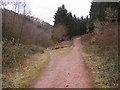
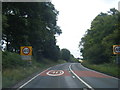
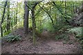

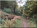
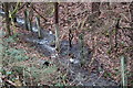
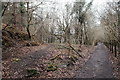
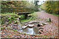
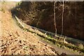
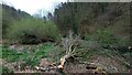
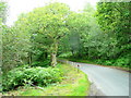
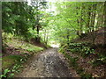
27 photos from this area
Area Information
Key information about the GL17 9DL including its size, population, and administrative classification.
- Area Type
- Postcode
- Area Size
- 57.1 hectares
- Population
- 1813
- Population Density
- 262 people/km²
House Prices in GL17 9DL
39
Properties
£230,763
Average Sold Price
£43,000
Lowest Price
£495,000
Highest Price
Showing 39 properties
| Address | Type | Beds | Baths | Last Sale Price | Last Sale Date | |
|---|---|---|---|---|---|---|
| 5, Council Houses, High Street, Brierley, GL17 9DL | Semi-detached | 3 | 1 | £263,000 | Oct 2024 | |
| The Brambles, Track From Junction With High Street To Tree Tops, Brierley, GL17 9DL | Detached | 4 | 1 | £495,000 | Sep 2021 | |
| 2, Council Houses, High Street, Brierley, GL17 9DL | Semi-detached | 3 | 1 | £180,000 | Mar 2021 | |
| South View, High Street, Brierley, GL17 9DL | Detached | 3 | 1 | £212,500 | May 2019 | |
| Summer House, High Street, Brierley, GL17 9DL | Semi-detached | 4 | 3 | £240,000 | Dec 2017 | |
| Rose Cottage, High Street, Brierley, GL17 9DL | Detached | 4 | 3 | £300,000 | Apr 2017 | |
| The New Bungalow, High Street, Brierley, GL17 9DL | Bungalow | 3 | - | £210,000 | Dec 2016 | |
| Sandjules, High Street, Brierley, GL17 9DL | Detached | 3 | 2 | £120,000 | Oct 2014 | |
| Forest View House, High Street, Brierley, GL17 9DL | Detached | 5 | 3 | £200,000 | Nov 2013 | |
| Tree Tops, Track From Junction With High Street To Tree Tops, Brierley, GL17 9DL | Detached | 5 | 3 | £390,000 | Jul 2013 |
Page 1 of 4
Energy Efficiency in GL17 9DL
Amenities
Schools
| Rank | School | Type | Entry gender | Ages |
|---|
Explore more schools in this area
Go to Schools tabDemographics
Household Size
Two person
most common
Accommodation Type
Houses
most common
Tenure
89
majority
Ethnic Group
White
most common
Religion
N/A
most common
Household Composition
N/A
most common
Age
47
median
Adults (30-64 years)
most common
Household Deprivation
N/A
with no deprivation
NS-SEC
33
in Lower managerial occupations
Explore more demographic insights in this area
Go to Demographics tabPlanning
Planning Constraints
- Flood RiskPremium
- Ramsar Wetland SitesPremium
- Area of Outstanding Natural BeautyPremium
- Protected Nature ReservePremium
- Protected WoodlandPremium