Area Overview for GL17 0PF
Photos of GL17 0PF
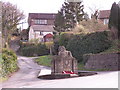
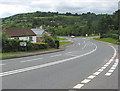
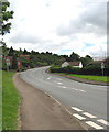
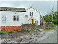
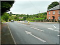
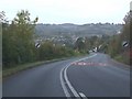
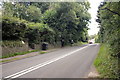
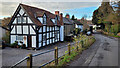
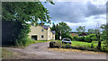
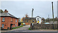
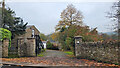
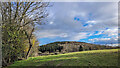
43 photos from this area
Area Information
Key information about the GL17 0PF including its size, population, and administrative classification.
- Area Type
- Postcode
- Area Size
- 13.2 hectares
- Population
- 1817
- Population Density
- 90 people/km²
House Prices in GL17 0PF
26
Properties
£245,600
Average Sold Price
£70,000
Lowest Price
£775,000
Highest Price
Showing 26 properties
| Address | Type | Beds | Baths | Last Sale Price | Last Sale Date | |
|---|---|---|---|---|---|---|
| Prescott House, Old Hill, Longhope, GL17 0PF | Detached | 4 | 2 | £775,000 | Feb 2025 | |
| Normanby, Old Hill, Longhope, GL17 0PF | Bungalow | 2 | 1 | £350,000 | Dec 2024 | |
| Camberlea, Old Hill, Longhope, GL17 0PF | Bungalow | 3 | 1 | £418,000 | Mar 2024 | |
| April Cottage, Old Hill, Longhope, GL17 0PF | Detached | 3 | 2 | £290,000 | Jun 2022 | |
| Fenestra, Old Hill, Longhope, GL17 0PF | Bungalow | 4 | - | £475,000 | Nov 2021 | |
| The Cottage, Old Hill, Longhope, GL17 0PF | Detached | 4 | 3 | £350,000 | Apr 2021 | |
| Shirelle, Old Hill, Longhope, GL17 0PF | Bungalow | 3 | 1 | £223,000 | Aug 2017 | |
| Mernoch, Old Hill, Longhope, GL17 0PF | Detached | 3 | 1 | £250,000 | Mar 2017 | |
| Hazeldene, Old Hill, Longhope, GL17 0PF | house | - | - | £250,000 | Dec 2016 | |
| Tree Tops, Old Hill, Longhope, GL17 0PF | Bungalow | 3 | 1 | £230,000 | Jul 2014 |
Page 1 of 3
Energy Efficiency in GL17 0PF
Amenities
Schools
| Rank | School | Type | Entry gender | Ages |
|---|
Explore more schools in this area
Go to Schools tabDemographics
Household Size
Two person
most common
Accommodation Type
Houses
most common
Tenure
86
majority
Ethnic Group
White
most common
Religion
N/A
most common
Household Composition
N/A
most common
Age
47
median
Adults (30-64 years)
most common
Household Deprivation
N/A
with no deprivation
NS-SEC
37
in Lower managerial occupations
Explore more demographic insights in this area
Go to Demographics tabPlanning
Planning Constraints
- Flood RiskPremium
- Ramsar Wetland SitesPremium
- Area of Outstanding Natural BeautyPremium
- Protected Nature ReservePremium
- Protected WoodlandPremium