Area Overview for GL17 0DH
Photos of GL17 0DH
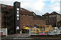
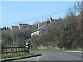
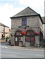
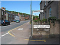
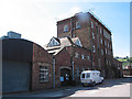
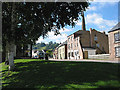
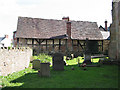
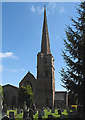
100 photos from this area
Area Information
Key information about the GL17 0DH including its size, population, and administrative classification.
- Area Type
- Postcode
- Area Size
- 1.0 hectares
- Population
- 1242
- Population Density
- 894 people/km²
House Prices in GL17 0DH
28
Properties
£136,113
Average Sold Price
£30,000
Lowest Price
£249,950
Highest Price
Showing 28 properties
| Address | Type | Beds | Baths | Last Sale Price | Last Sale Date | |
|---|---|---|---|---|---|---|
| 38 Parks Road, Mitcheldean, GL17 0DH | Terraced | 3 | 2 | £179,000 | Oct 2023 | |
| 42 Parks Road, Mitcheldean, GL17 0DH | Terraced | 3 | 2 | £202,000 | Aug 2023 | |
| 2 Parks Road, Mitcheldean, GL17 0DH | house | - | - | £130,000 | Feb 2021 | |
| 22 Parks Road, Mitcheldean, GL17 0DH | Semi-detached | 4 | 2 | £249,950 | Dec 2020 | |
| 52 Parks Road, Mitcheldean, GL17 0DH | Semi-detached | 3 | 1 | £160,000 | Mar 2018 | |
| 8 Parks Road, Mitcheldean, GL17 0DH | Terraced | 3 | - | £79,950 | Nov 2013 | |
| 48 Parks Road, Mitcheldean, GL17 0DH | Semi-detached | - | - | £58,000 | Dec 1999 | |
| 40 Parks Road, Mitcheldean, GL17 0DH | Terraced | - | - | £30,000 | Mar 1996 | |
| 12 Parks Road, Mitcheldean, GL17 0DH | Semi-detached | 3 | 1 | - | - | |
| 4 Parks Road, Mitcheldean, GL17 0DH | house | - | - | - | - |
Page 1 of 3
Energy Efficiency in GL17 0DH
Amenities
Schools
| Rank | School | Type | Entry gender | Ages |
|---|
Explore more schools in this area
Go to Schools tabDemographics
Household Size
One person
most common
Accommodation Type
Houses
most common
Tenure
63
majority
Ethnic Group
White
most common
Religion
N/A
most common
Household Composition
N/A
most common
Age
47
median
Adults (30-64 years)
most common
Household Deprivation
N/A
with no deprivation
NS-SEC
25
in Lower managerial occupations
Explore more demographic insights in this area
Go to Demographics tabPlanning
Planning Constraints
- Flood RiskPremium
- Ramsar Wetland SitesPremium
- Area of Outstanding Natural BeautyPremium
- Protected Nature ReservePremium
- Protected WoodlandPremium