Area Overview for GL16 8QS
Photos of GL16 8QS
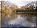
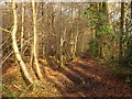
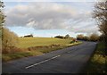
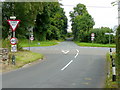
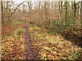
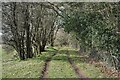
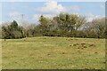
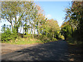
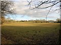
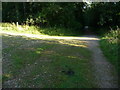
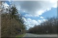
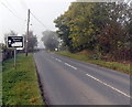
25 photos from this area
Area Information
Key information about the GL16 8QS including its size, population, and administrative classification.
- Area Type
- Postcode
- Area Size
- 38.6 hectares
- Population
- 1822
- Population Density
- 368 people/km²
House Prices in GL16 8QS
11
Properties
£275,536
Average Sold Price
£75,000
Lowest Price
£575,000
Highest Price
Showing 11 properties
| Address | Type | Beds | Baths | Last Sale Price | Last Sale Date | |
|---|---|---|---|---|---|---|
| Corner Cottage, Scowles Road, Coleford, GL16 8QS | Detached | 4 | 2 | £575,000 | Sep 2025 | |
| Holmleigh, Scowles Road, Coleford, GL16 8QS | Bungalow | 2 | 1 | £204,250 | Sep 2018 | |
| Elhosa, Scowles Road, Coleford, GL16 8QS | Bungalow | - | - | £300,000 | Apr 2016 | |
| Oak Cottage, 2 Scowles Road, Coleford, GL16 8QS | Detached | 2 | 1 | £224,500 | Oct 2015 | |
| Jorel, Scowles Road, Coleford, GL16 8QS | house | 3 | 2 | £200,000 | Oct 2009 | |
| Greenacres, Scowles Road, Coleford, GL16 8QS | Detached | - | - | £350,000 | Jan 2007 | |
| Wynsholme, Scowles Road, Coleford, GL16 8QS | Detached | - | - | £75,000 | Feb 1995 | |
| Scowles Farm, Scowles Road, Coleford, GL16 8QS | Detached | 3 | 2 | - | - | |
| Rogers Quarry, Scowles Road, Coleford, GL16 8QS | Industrial | - | - | - | - | |
| Barn And Adjoning Land, Scowles Road, Coleford, GL16 8QS | Farm | - | - | - | - |
Page 1 of 2
Energy Efficiency in GL16 8QS
Amenities
Schools
| Rank | School | Type | Entry gender | Ages |
|---|
Explore more schools in this area
Go to Schools tabDemographics
Household Size
Two person
most common
Accommodation Type
Houses
most common
Tenure
69
majority
Ethnic Group
White
most common
Religion
N/A
most common
Household Composition
N/A
most common
Age
47
median
Adults (30-64 years)
most common
Household Deprivation
N/A
with no deprivation
NS-SEC
29
in Lower managerial occupations
Explore more demographic insights in this area
Go to Demographics tabPlanning
Planning Constraints
- Flood RiskPremium
- Ramsar Wetland SitesPremium
- Protected Nature ReservePremium
- Protected WoodlandPremium