Area Overview for GL16 7NA
Photos of GL16 7NA
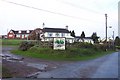
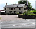
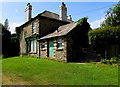
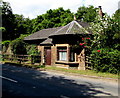
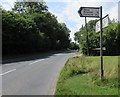
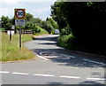
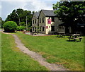
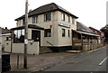
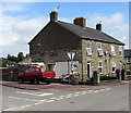
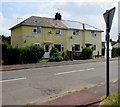
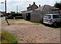
63 photos from this area
Area Information
Key information about the GL16 7NA including its size, population, and administrative classification.
- Area Type
- Postcode
- Area Size
- 34.5 hectares
- Population
- 1529
- Population Density
- 268 people/km²
House Prices in GL16 7NA
20
Properties
£258,939
Average Sold Price
£45,000
Lowest Price
£705,000
Highest Price
Showing 20 properties
| Address | Type | Beds | Baths | Last Sale Price | Last Sale Date | |
|---|---|---|---|---|---|---|
| Woodside House, Marsh Lane, Ellwood, GL16 7NA | Detached | 4 | - | £705,000 | Feb 2022 | |
| Ponderosa, Marsh Lane, Ellwood, GL16 7NA | Detached | 2 | 1 | £159,950 | Jul 2016 | |
| The Cottage, Marsh Lane, Ellwood, GL16 7NA | Cottage | 2 | 1 | £162,500 | Jul 2015 | |
| Willow Cottage, Marsh Lane, Ellwood, GL16 7NA | Detached | 3 | - | £295,000 | Dec 2013 | |
| Magnolia Cottage, Marsh Lane, Ellwood, GL16 7NA | house | - | - | £229,000 | Aug 2013 | |
| Damson Cottage, Marsh Lane, Ellwood, GL16 7NA | Detached | - | - | £352,000 | Jun 2007 | |
| Elton House, Marsh Lane, Ellwood, GL16 7NA | Detached | - | - | £182,000 | May 2003 | |
| Greenacres, Marsh Lane, Ellwood, GL16 7NA | Detached | - | - | £200,000 | Feb 1998 | |
| 4 Marsh Lane, Ellwood, GL16 7NA | Semi-detached | - | - | £45,000 | Mar 1997 | |
| 5 Marsh Lane, Ellwood, GL16 7NA | Retail | 3 | 1 | - | - |
Page 1 of 2
Energy Efficiency in GL16 7NA
Amenities
Schools
| Rank | School | Type | Entry gender | Ages |
|---|
Explore more schools in this area
Go to Schools tabDemographics
Household Size
Two person
most common
Accommodation Type
Houses
most common
Tenure
77
majority
Ethnic Group
White
most common
Religion
N/A
most common
Household Composition
N/A
most common
Age
47
median
Adults (30-64 years)
most common
Household Deprivation
N/A
with no deprivation
NS-SEC
32
in Lower managerial occupations
Explore more demographic insights in this area
Go to Demographics tabPlanning
Planning Constraints
- Flood RiskPremium
- Ramsar Wetland SitesPremium
- Area of Outstanding Natural BeautyPremium
- Protected Nature ReservePremium
- Protected WoodlandPremium