Area Overview for GL16 7HG
Photos of GL16 7HG
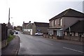
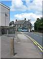
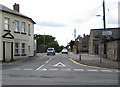
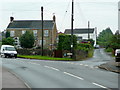
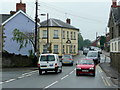
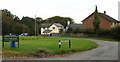
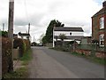
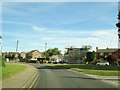
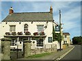
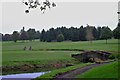
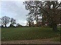
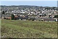
69 photos from this area
Area Information
Key information about the GL16 7HG including its size, population, and administrative classification.
- Area Type
- Postcode
- Area Size
- 15.9 hectares
- Population
- 1851
- Population Density
- 1265 people/km²
House Prices in GL16 7HG
20
Properties
£235,917
Average Sold Price
£130,000
Lowest Price
£420,000
Highest Price
Showing 20 properties
| Address | Type | Beds | Baths | Last Sale Price | Last Sale Date | |
|---|---|---|---|---|---|---|
| 11 Coalway Road, Coalway, GL16 7HG | Bungalow | 2 | 1 | £326,000 | Mar 2023 | |
| 15 Coalway Road, Coalway, GL16 7HG | Bungalow | 2 | 1 | £262,000 | Jul 2020 | |
| 4 Coalway Road, Coalway, GL16 7HG | Detached | 4 | 2 | £420,000 | Jul 2020 | |
| 3 Coalway Road, Coalway, GL16 7HG | Detached | 4 | 2 | £185,000 | Jun 2019 | |
| 2 Coalway Road, Coalway, GL16 7HG | Bungalow | 3 | 1 | £210,000 | Mar 2019 | |
| Hillcrest, Coalway Road, Coalway, GL16 7HG | house | 2 | 1 | £130,000 | Feb 2019 | |
| 19 Coalway Road, Coalway, GL16 7HG | Bungalow | 3 | 1 | £220,000 | Oct 2018 | |
| 13 Coalway Road, Coalway, GL16 7HG | Bungalow | - | - | £200,000 | Jul 2012 | |
| 23 Coalway Road, Coalway, GL16 7HG | Bungalow | 3 | 1 | £168,000 | May 2011 | |
| 7 Coalway Road, Coalway, GL16 7HG | Bungalow | 3 | 2 | £227,000 | Mar 2010 |
Page 1 of 2
Energy Efficiency in GL16 7HG
Amenities
Schools
| Rank | School | Type | Entry gender | Ages |
|---|
Explore more schools in this area
Go to Schools tabDemographics
Household Size
One person
most common
Accommodation Type
Houses
most common
Tenure
61
majority
Ethnic Group
White
most common
Religion
N/A
most common
Household Composition
N/A
most common
Age
47
median
Adults (30-64 years)
most common
Household Deprivation
N/A
with no deprivation
NS-SEC
27
in Lower managerial occupations
Explore more demographic insights in this area
Go to Demographics tabPlanning
Planning Constraints
- Flood RiskPremium
- Ramsar Wetland SitesPremium
- Area of Outstanding Natural BeautyPremium
- Protected Nature ReservePremium
- Protected WoodlandPremium