Area Overview for GL15 6SJ
Photos of GL15 6SJ
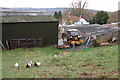
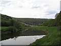
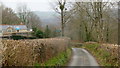
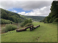
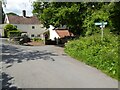
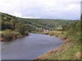
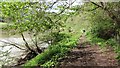
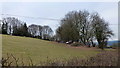
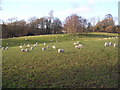
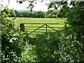
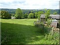
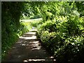
16 photos from this area
Area Information
Key information about the GL15 6SJ including its size, population, and administrative classification.
- Area Type
- Postcode
- Area Size
- 11.2 hectares
- Population
- 1911
- Population Density
- 56 people/km²
House Prices in GL15 6SJ
5
Properties
£364,000
Average Sold Price
£225,000
Lowest Price
£475,000
Highest Price
Showing 5 properties
| Address | Type | Beds | Baths | Last Sale Price | Last Sale Date | |
|---|---|---|---|---|---|---|
| Oakwood House, Road From Junction With Hudnalls Loop Road To Birch Hill Road, The Common, St Briavels, GL15 6SJ | house | - | - | £392,000 | Dec 2010 | |
| Oak Cottage, Road From Junction With Hudnalls Loop Road To Birch Hill Road, The Common, St Briavels, GL15 6SJ | Detached | - | - | £475,000 | Oct 2006 | |
| Fayland, Birch Hill Road, The Common, St Briavels, GL15 6SJ | house | - | - | £225,000 | Feb 2005 | |
| Former Fayland, Birch Hill Road, The Common, St Briavels, GL15 6SJ | undefined | - | - | - | - | |
| Outbuilding At, Oak Cottage, Road From Junction With Hudnalls Loop Road To Birch Hill Road, The Common, St Briavels, GL15 6SJ | Flat | - | - | - | - |
Energy Efficiency in GL15 6SJ
Amenities
Schools
| Rank | School | Type | Entry gender | Ages |
|---|
Explore more schools in this area
Go to Schools tabDemographics
Household Size
Two person
most common
Accommodation Type
Houses
most common
Tenure
82
majority
Ethnic Group
White
most common
Religion
N/A
most common
Household Composition
N/A
most common
Age
47
median
Adults (30-64 years)
most common
Household Deprivation
N/A
with no deprivation
NS-SEC
43
in Lower managerial occupations
Explore more demographic insights in this area
Go to Demographics tabPlanning
Planning Constraints
- Flood RiskPremium
- Ramsar Wetland SitesPremium
- Protected Nature ReservePremium
- Protected WoodlandPremium