Area Overview for GL15 6NU
Photos of GL15 6NU
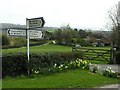
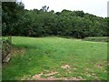
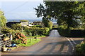
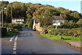
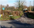
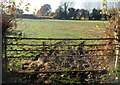
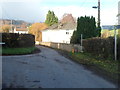
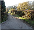
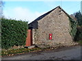
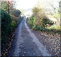
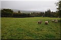
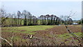
13 photos from this area
Area Information
Key information about the GL15 6NU including its size, population, and administrative classification.
- Area Type
- Postcode
- Area Size
- 12.4 hectares
- Population
- 1670
- Population Density
- 86 people/km²
House Prices in GL15 6NU
11
Properties
£405,000
Average Sold Price
£97,000
Lowest Price
£800,000
Highest Price
Showing 11 properties
| Address | Type | Beds | Baths | Last Sale Price | Last Sale Date | |
|---|---|---|---|---|---|---|
| New House, Woolaston Common, Woolaston, GL15 6NU | Detached | 3 | 4 | £800,000 | Jul 2022 | |
| Brook Cottage, Brooklet Road, Woolaston Common, Woolaston, GL15 6NU | Detached | 5 | 3 | £538,000 | May 2013 | |
| Rose Cottage, Brooklet Road, Woolaston Common, Woolaston, GL15 6NU | Detached | 3 | 2 | £405,000 | Jul 2009 | |
| Yew Tree Cottage, Brooklet Road, Woolaston Common, Woolaston, GL15 6NU | Detached | - | - | £185,000 | Sep 1997 | |
| Victoria Cottage, Woolaston Common, Woolaston, GL15 6NU | Detached | - | - | £97,000 | Jul 1997 | |
| The Filberts, Woolaston Common, Woolaston, GL15 6NU | Detached | 2 | 1 | - | - | |
| Ivy Cottage, Brooklet Road, Woolaston Common, Woolaston, GL15 6NU | Detached | 5 | 3 | - | - | |
| The Caravan, Rose Cottage, Brooklet Road, Woolaston Common, Woolaston, GL15 6NU | Mobile Home | - | - | - | - | |
| Managers Accomodation, Rising Sun Inn, Woolaston Common, Woolaston, GL15 6NU | Flat | - | - | - | - | |
| Rosemount, Woolaston Common, Woolaston, GL15 6NU | Detached | - | - | - | - |
Page 1 of 2
Energy Efficiency in GL15 6NU
Amenities
Schools
| Rank | School | Type | Entry gender | Ages |
|---|
Explore more schools in this area
Go to Schools tabDemographics
Household Size
Two person
most common
Accommodation Type
Houses
most common
Tenure
85
majority
Ethnic Group
White
most common
Religion
N/A
most common
Household Composition
N/A
most common
Age
47
median
Adults (30-64 years)
most common
Household Deprivation
N/A
with no deprivation
NS-SEC
43
in Lower managerial occupations
Explore more demographic insights in this area
Go to Demographics tabPlanning
Planning Constraints
- Flood RiskPremium
- Ramsar Wetland SitesPremium
- Area of Outstanding Natural BeautyPremium
- Protected Nature ReservePremium
- Protected WoodlandPremium