Area Overview for GL15 5SE
Photos of GL15 5SE
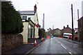
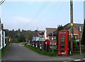
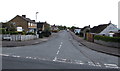
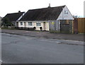
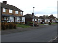
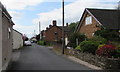
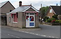
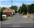
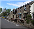
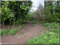
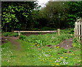
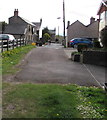
68 photos from this area
Area Information
Key information about the GL15 5SE including its size, population, and administrative classification.
- Area Type
- Postcode
- Area Size
- 5178 m²
- Population
- 1758
- Population Density
- 377 people/km²
House Prices in GL15 5SE
7
Properties
£213,583
Average Sold Price
£160,000
Lowest Price
£297,500
Highest Price
Showing 7 properties
| Address | Type | Beds | Baths | Last Sale Price | Last Sale Date | |
|---|---|---|---|---|---|---|
| 60 Primrose Hill, Lydney, GL15 5SE | Detached | 3 | 2 | £297,500 | Sep 2023 | |
| 48 Primrose Hill, Lydney, GL15 5SE | Detached | 2 | 1 | £220,000 | Jul 2020 | |
| 50 Primrose Hill, Lydney, GL15 5SE | house | - | - | £160,000 | May 2007 | |
| 58 Primrose Hill, Lydney, GL15 5SE | house | - | - | £218,000 | Jul 2006 | |
| 62 Primrose Hill, Lydney, GL15 5SE | Detached | - | - | £190,000 | Aug 2005 | |
| 56 Primrose Hill, Lydney, GL15 5SE | house | 3 | 1 | £196,000 | May 2004 | |
| 64 Primrose Hill, Lydney, GL15 5SE | Detached | - | - | - | - |
Energy Efficiency in GL15 5SE
Amenities
Schools
| Rank | School | Type | Entry gender | Ages |
|---|
Explore more schools in this area
Go to Schools tabDemographics
Household Size
Two person
most common
Accommodation Type
Houses
most common
Tenure
89
majority
Ethnic Group
White
most common
Religion
N/A
most common
Household Composition
N/A
most common
Age
47
median
Adults (30-64 years)
most common
Household Deprivation
N/A
with no deprivation
NS-SEC
26
in Lower managerial occupations
Explore more demographic insights in this area
Go to Demographics tabPlanning
Planning Constraints
- Flood RiskPremium
- Ramsar Wetland SitesPremium
- Area of Outstanding Natural BeautyPremium
- Protected Nature ReservePremium
- Protected WoodlandPremium