Area Overview for GL15 5NB
Photos of GL15 5NB
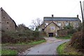
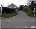
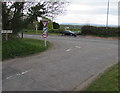
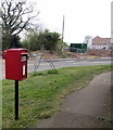
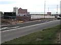
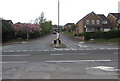
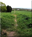
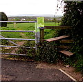
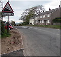
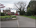
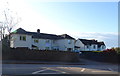
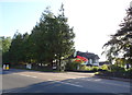
22 photos from this area
Area Information
Key information about the GL15 5NB including its size, population, and administrative classification.
- Area Type
- Postcode
- Area Size
- 3.8 hectares
- Population
- 2272
- Population Density
- 459 people/km²
House Prices in GL15 5NB
18
Properties
£257,769
Average Sold Price
£110,000
Lowest Price
£465,000
Highest Price
Showing 18 properties
| Address | Type | Beds | Baths | Last Sale Price | Last Sale Date | |
|---|---|---|---|---|---|---|
| Bradgate, Highfield Road, Lydney, GL15 5NB | Detached | 3 | 1 | £330,000 | Jun 2024 | |
| Copper Beeches, Highfield Road, Lydney, GL15 5NB | Detached | 4 | 2 | £465,000 | Nov 2020 | |
| Knockley, 55 Highfield Road, Lydney, GL15 5NB | Detached | 4 | 1 | £405,000 | Oct 2018 | |
| The Lodge, Highfield Road, Lydney, GL15 5NB | Bungalow | 3 | 1 | £250,000 | Dec 2016 | |
| Windrush, Highfield Road, Lydney, GL15 5NB | Detached | 5 | 3 | £415,000 | May 2016 | |
| Springkell, Highfield Road, Lydney, GL15 5NB | Semi-detached | 3 | 1 | £200,000 | Mar 2016 | |
| Silurum, Highfield Road, Lydney, GL15 5NB | house | - | - | £210,000 | Dec 2014 | |
| Frensham, Highfield Road, Lydney, GL15 5NB | Detached | 3 | 2 | £203,000 | Sep 2012 | |
| Glenholt, Highfield Road, Lydney, GL15 5NB | Detached | - | - | £215,000 | Dec 2003 | |
| Highways, Highfield Road, Lydney, GL15 5NB | Detached | - | - | £190,500 | Sep 2001 |
Page 1 of 2
Energy Efficiency in GL15 5NB
Amenities
Schools
| Rank | School | Type | Entry gender | Ages |
|---|
Explore more schools in this area
Go to Schools tabDemographics
Household Size
Two person
most common
Accommodation Type
Houses
most common
Tenure
82
majority
Ethnic Group
White
most common
Religion
N/A
most common
Household Composition
N/A
most common
Age
47
median
Adults (30-64 years)
most common
Household Deprivation
N/A
with no deprivation
NS-SEC
36
in Lower managerial occupations
Explore more demographic insights in this area
Go to Demographics tabPlanning
Planning Constraints
- Flood RiskPremium
- Ramsar Wetland SitesPremium
- Area of Outstanding Natural BeautyPremium
- Protected Nature ReservePremium
- Protected WoodlandPremium