Area Overview for GL15 4RZ
Photos of GL15 4RZ
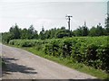
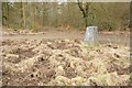
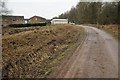
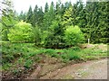
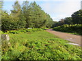
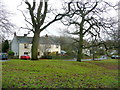
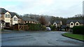
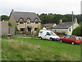
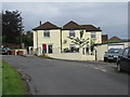
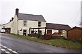
10 photos from this area
Area Information
Key information about the GL15 4RZ including its size, population, and administrative classification.
- Area Type
- Postcode
- Area Size
- 17.6 hectares
- Population
- 1869
- Population Density
- 84 people/km²
House Prices in GL15 4RZ
16
Properties
£275,030
Average Sold Price
£72,621
Lowest Price
£387,500
Highest Price
Showing 16 properties
| Address | Type | Beds | Baths | Last Sale Price | Last Sale Date | |
|---|---|---|---|---|---|---|
| Maples, Johnsons Way, Yorkley, GL15 4RZ | Detached | 4 | 1 | £325,000 | Jan 2020 | |
| Homestead, Johnsons Way, Yorkley, GL15 4RZ | Detached | 5 | 2 | £387,500 | Dec 2013 | |
| Hazeldene, Johnsons Way, Yorkley, GL15 4RZ | Detached | - | - | £315,000 | Dec 2007 | |
| Myrtle Cottage, Johnsons Way, Yorkley, GL15 4RZ | Detached | - | - | £72,621 | Jun 1999 | |
| Dean Lodge, Johnsons Way, Yorkley, GL15 4RZ | Detached | 4 | 1 | - | - | |
| 1A Johnsons Way, Yorkley, GL15 4RZ | undefined | - | - | - | - | |
| Greendale, Johnsons Way, Yorkley, GL15 4RZ | Bungalow | 2 | 1 | - | - | |
| Glenville, Johnsons Way, Yorkley, GL15 4RZ | house | - | - | - | - | |
| Lynwood, Johnsons Way, Yorkley, GL15 4RZ | Detached | - | - | - | - | |
| Wentworth, Johnsons Way, Yorkley, GL15 4RZ | Detached | - | - | - | - |
Page 1 of 2
Energy Efficiency in GL15 4RZ
Amenities
Schools
| Rank | School | Type | Entry gender | Ages |
|---|
Explore more schools in this area
Go to Schools tabDemographics
Household Size
Two person
most common
Accommodation Type
Houses
most common
Tenure
87
majority
Ethnic Group
White
most common
Religion
N/A
most common
Household Composition
N/A
most common
Age
47
median
Adults (30-64 years)
most common
Household Deprivation
N/A
with no deprivation
NS-SEC
35
in Lower managerial occupations
Explore more demographic insights in this area
Go to Demographics tabPlanning
Planning Constraints
- Flood RiskPremium
- Ramsar Wetland SitesPremium
- Area of Outstanding Natural BeautyPremium
- Protected Nature ReservePremium
- Protected WoodlandPremium