Area Overview for GL15 4DU
Photos of GL15 4DU
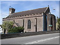
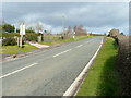
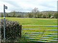
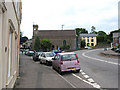
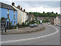
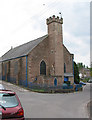
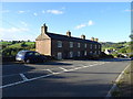
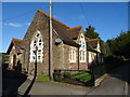
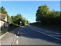
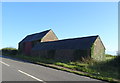
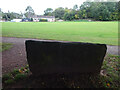
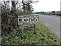
58 photos from this area
Area Information
Key information about the GL15 4DU including its size, population, and administrative classification.
- Area Type
- Postcode
- Area Size
- 15.0 hectares
- Population
- 1681
- Population Density
- 83 people/km²
House Prices in GL15 4DU
62
Properties
£120,185
Average Sold Price
£20,000
Lowest Price
£204,000
Highest Price
Showing 62 properties
| Address | Type | Beds | Baths | Last Sale Price | Last Sale Date | |
|---|---|---|---|---|---|---|
| 39 All Saints Road, Blakeney, GL15 4DU | house | - | - | £100,000 | Mar 2025 | |
| 17 All Saints Road, Blakeney, GL15 4DU | Semi-detached | 3 | 1 | £180,000 | Feb 2024 | |
| 15 All Saints Road, Blakeney, GL15 4DU | house | - | - | £204,000 | Aug 2023 | |
| 46 All Saints Road, Blakeney, GL15 4DU | Semi-detached | 3 | - | £199,950 | Nov 2021 | |
| 10 All Saints Road, Blakeney, GL15 4DU | Bungalow | 1 | - | £110,000 | Nov 2019 | |
| 52 All Saints Road, Blakeney, GL15 4DU | Semi-detached | 3 | 2 | £157,250 | Jul 2019 | |
| 41 All Saints Road, Blakeney, GL15 4DU | Terraced | 3 | 1 | £105,000 | Jan 2019 | |
| 14 All Saints Road, Blakeney, GL15 4DU | Semi-detached | 3 | 1 | £130,000 | Sep 2018 | |
| Lavinia Cottage, All Saints Road, Blakeney, GL15 4DU | Terraced | 3 | 1 | £165,000 | Jul 2018 | |
| 30 All Saints Road, Blakeney, GL15 4DU | Semi-detached | - | - | £120,000 | Nov 2016 |
Page 1 of 7
Energy Efficiency in GL15 4DU
Amenities
Schools
| Rank | School | Type | Entry gender | Ages |
|---|
Explore more schools in this area
Go to Schools tabDemographics
Household Size
Two person
most common
Accommodation Type
Houses
most common
Tenure
77
majority
Ethnic Group
White
most common
Religion
N/A
most common
Household Composition
N/A
most common
Age
47
median
Adults (30-64 years)
most common
Household Deprivation
N/A
with no deprivation
NS-SEC
34
in Lower managerial occupations
Explore more demographic insights in this area
Go to Demographics tabPlanning
Planning Constraints
- Flood RiskPremium
- Ramsar Wetland SitesPremium
- Area of Outstanding Natural BeautyPremium
- Protected Nature ReservePremium
- Protected WoodlandPremium