Area Overview for GL14 3JS
Photos of GL14 3JS
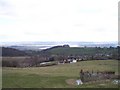
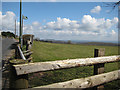
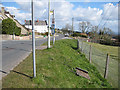
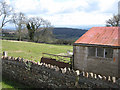
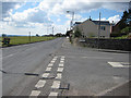
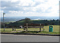
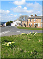
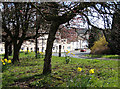
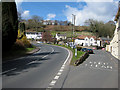
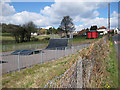
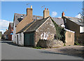
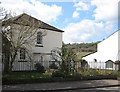
100 photos from this area
Area Information
Key information about the GL14 3JS including its size, population, and administrative classification.
- Area Type
- Postcode
- Area Size
- 1.6 hectares
- Population
- 2148
- Population Density
- 786 people/km²
House Prices in GL14 3JS
18
Properties
£230,000
Average Sold Price
£66,000
Lowest Price
£375,000
Highest Price
Showing 18 properties
| Address | Type | Beds | Baths | Last Sale Price | Last Sale Date | |
|---|---|---|---|---|---|---|
| Ferndene, Broad Street, Littledean, GL14 3JS | Semi-detached | 2 | 1 | £300,000 | Jul 2024 | |
| Highnam House, Broad Street, Littledean, GL14 3JS | Detached | 3 | - | £315,000 | Sep 2021 | |
| The Oaks, Broad Street, Littledean, GL14 3JS | house | - | - | £303,000 | Sep 2021 | |
| Old Oak Cottage, Broad Street, Littledean, GL14 3JS | Semi-detached | 3 | 1 | £170,000 | Oct 2019 | |
| Cherry Trees, Broad Street, Littledean, GL14 3JS | Detached | 4 | 2 | £285,000 | Jul 2019 | |
| The Brambles, Broad Street, Littledean, GL14 3JS | Detached | 4 | 2 | £375,000 | Sep 2018 | |
| The Conifers, Broad Street, Littledean, GL14 3JS | Semi-detached | 3 | 1 | £155,000 | Aug 2017 | |
| Penlee, Broad Street, Littledean, GL14 3JS | Semi-detached | - | - | £101,000 | Mar 2002 | |
| Bri-mar, Broad Street, Littledean, GL14 3JS | Semi-detached | - | - | £66,000 | Apr 2000 | |
| Grange View, Broad Street, Littledean, GL14 3JS | Detached | 4 | 1 | - | - |
Page 1 of 2
Energy Efficiency in GL14 3JS
Amenities
Schools
| Rank | School | Type | Entry gender | Ages |
|---|
Explore more schools in this area
Go to Schools tabDemographics
Household Size
Two person
most common
Accommodation Type
Houses
most common
Tenure
64
majority
Ethnic Group
White
most common
Religion
N/A
most common
Household Composition
N/A
most common
Age
47
median
Adults (30-64 years)
most common
Household Deprivation
N/A
with no deprivation
NS-SEC
26
in Lower managerial occupations
Explore more demographic insights in this area
Go to Demographics tabPlanning
Planning Constraints
- Flood RiskPremium
- Ramsar Wetland SitesPremium
- Area of Outstanding Natural BeautyPremium
- Protected Nature ReservePremium
- Protected WoodlandPremium