Area Overview for GL13 9UR
Photos of GL13 9UR
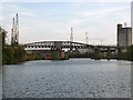
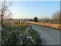
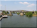
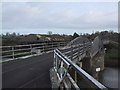
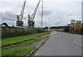
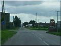
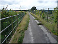
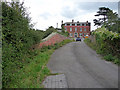

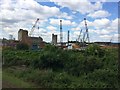
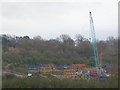
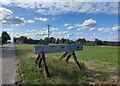
100 photos from this area
Area Information
Key information about the GL13 9UR including its size, population, and administrative classification.
- Area Type
- Postcode
- Area Size
- 1.4 hectares
- Population
- 1613
- Population Density
- 199 people/km²
House Prices in GL13 9UR
21
Properties
£206,125
Average Sold Price
£39,000
Lowest Price
£302,500
Highest Price
Showing 21 properties
| Address | Type | Beds | Baths | Last Sale Price | Last Sale Date | |
|---|---|---|---|---|---|---|
| 61 Oldminster Road, Sharpness, Berkeley, GL13 9UR | Semi-detached | 3 | 1 | £302,500 | Jun 2025 | |
| 68 Oldminster Road, Sharpness, Berkeley, GL13 9UR | Bungalow | - | - | £257,000 | Jul 2021 | |
| 59 Oldminster Road, Sharpness, Berkeley, GL13 9UR | Semi-detached | 4 | - | £285,000 | Jun 2019 | |
| 55 Oldminster Road, Sharpness, Berkeley, GL13 9UR | Cottage | 3 | - | £186,000 | Jul 2018 | |
| 63 Oldminster Road, Sharpness, Berkeley, GL13 9UR | Semi-detached | 3 | 1 | £210,000 | Oct 2017 | |
| 70 Oldminster Road, Sharpness, Berkeley, GL13 9UR | Bungalow | 3 | 1 | £227,500 | Dec 2016 | |
| 57 Oldminster Road, Sharpness, Berkeley, GL13 9UR | Semi-detached | 3 | 3 | £176,000 | Dec 2015 | |
| 58 Oldminster Road, Sharpness, Berkeley, GL13 9UR | Semi-detached | 4 | 1 | £235,000 | Jun 2015 | |
| 52 Oldminster Road, Sharpness, Berkeley, GL13 9UR | Semi-detached | 3 | 1 | £156,750 | Dec 2013 | |
| 71 Oldminster Road, Sharpness, Berkeley, GL13 9UR | Bungalow | - | - | £218,000 | Jun 2013 |
Page 1 of 3
Energy Efficiency in GL13 9UR
Amenities
Schools
| Rank | School | Type | Entry gender | Ages |
|---|
Explore more schools in this area
Go to Schools tabDemographics
Household Size
Family (3-5 people)
most common
Accommodation Type
Houses
most common
Tenure
66
majority
Ethnic Group
White
most common
Religion
N/A
most common
Household Composition
N/A
most common
Age
47
median
Adults (30-64 years)
most common
Household Deprivation
N/A
with no deprivation
NS-SEC
31
in Lower managerial occupations
Explore more demographic insights in this area
Go to Demographics tabPlanning
Planning Constraints
- Flood RiskPremium
- Ramsar Wetland SitesPremium
- Area of Outstanding Natural BeautyPremium
- Protected Nature ReservePremium
- Protected WoodlandPremium