Area Overview for GL12 8HZ
Photos of GL12 8HZ
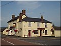

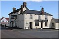
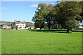

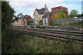
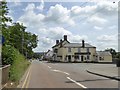
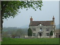
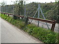
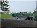
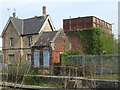
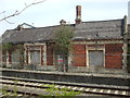
100 photos from this area
Area Information
Key information about the GL12 8HZ including its size, population, and administrative classification.
- Area Type
- Postcode
- Area Size
- 3.5 hectares
- Population
- 2346
- Population Density
- 871 people/km²
House Prices in GL12 8HZ
62
Properties
£271,612
Average Sold Price
£59,950
Lowest Price
£540,000
Highest Price
Showing 62 properties
| Address | Type | Beds | Baths | Last Sale Price | Last Sale Date | |
|---|---|---|---|---|---|---|
| 43 Longs View, Charfield, GL12 8HZ | Detached | 4 | 2 | £525,000 | Sep 2025 | |
| 52 Longs View, Charfield, GL12 8HZ | Detached | 4 | 2 | £455,000 | Sep 2025 | |
| 4 Longs View, Charfield, GL12 8HZ | Detached | 4 | 2 | £445,000 | Jul 2025 | |
| Tyndale House, 67 Longs View, Charfield, GL12 8HZ | Detached | 4 | 3 | £540,000 | Sep 2024 | |
| 37 Longs View, Charfield, GL12 8HZ | Detached | 5 | 2 | £415,000 | Aug 2024 | |
| 54 Longs View, Charfield, GL12 8HZ | house | - | - | £365,000 | Sep 2023 | |
| 55 Longs View, Charfield, GL12 8HZ | Detached | 3 | - | £460,000 | Aug 2023 | |
| 7 Longs View, Charfield, GL12 8HZ | house | 3 | 1 | £360,000 | Aug 2023 | |
| 1 Longs View, Charfield, GL12 8HZ | house | - | - | £358,500 | Oct 2021 | |
| 30 Longs View, Charfield, GL12 8HZ | house | - | - | £441,000 | Sep 2021 |
Page 1 of 7
Energy Efficiency in GL12 8HZ
Amenities
Schools
| Rank | School | Type | Entry gender | Ages |
|---|
Explore more schools in this area
Go to Schools tabDemographics
Household Size
Family (3-5 people)
most common
Accommodation Type
Houses
most common
Tenure
86
majority
Ethnic Group
White
most common
Religion
N/A
most common
Household Composition
N/A
most common
Age
47
median
Adults (30-64 years)
most common
Household Deprivation
N/A
with no deprivation
NS-SEC
44
in Lower managerial occupations
Explore more demographic insights in this area
Go to Demographics tabPlanning
Planning Constraints
- Flood RiskPremium
- Ramsar Wetland SitesPremium
- Area of Outstanding Natural BeautyPremium
- Protected Nature ReservePremium
- Protected WoodlandPremium