Area Overview for GL10 3PR
Photos of GL10 3PR
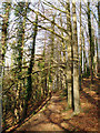
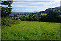
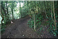
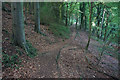
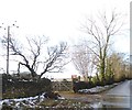
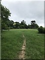

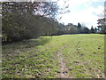
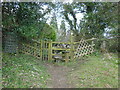
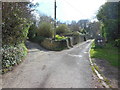
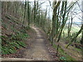
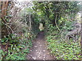
12 photos from this area
Area Information
Key information about the GL10 3PR including its size, population, and administrative classification.
- Area Type
- Postcode
- Area Size
- 13.5 hectares
- Population
- 2107
- Population Density
- 822 people/km²
House Prices in GL10 3PR
25
Properties
£226,364
Average Sold Price
£50,000
Lowest Price
£475,000
Highest Price
Showing 25 properties
| Address | Type | Beds | Baths | Last Sale Price | Last Sale Date | |
|---|---|---|---|---|---|---|
| Whinchats, Coldwell Lane, Kings Stanley, GL10 3PR | Bungalow | 2 | 1 | £330,000 | Dec 2025 | |
| Treetops, Coldwell Lane, Kings Stanley, GL10 3PR | Bungalow | 2 | 1 | £395,000 | Dec 2024 | |
| 27 Coldwell, Kings Stanley, GL10 3PR | Semi-detached | 2 | 1 | £290,500 | Nov 2024 | |
| Stantone, Coldwell Lane, Kings Stanley, GL10 3PR | Bungalow | 3 | 1 | £475,000 | Aug 2024 | |
| 1 Coldwell, Kings Stanley, GL10 3PR | Semi-detached | 3 | 1 | £235,000 | Sep 2019 | |
| 21 Coldwell, Kings Stanley, GL10 3PR | Flat | 2 | - | £85,000 | Jan 2014 | |
| 7 Coldwell, Kings Stanley, GL10 3PR | Semi-detached | 3 | - | £155,000 | Mar 2012 | |
| Old Orchard, Coldwell Lane, Kings Stanley, GL10 3PR | Detached | - | - | £241,500 | Jan 2009 | |
| Solden, Coldwell Lane, Kings Stanley, GL10 3PR | Bungalow | - | - | £175,000 | Nov 2002 | |
| 3 Coldwell, Kings Stanley, GL10 3PR | Land | - | - | £58,000 | Aug 1999 |
Page 1 of 3
Energy Efficiency in GL10 3PR
Amenities
Schools
| Rank | School | Type | Entry gender | Ages |
|---|
Explore more schools in this area
Go to Schools tabDemographics
Household Size
Family (3-5 people)
most common
Accommodation Type
Houses
most common
Tenure
70
majority
Ethnic Group
White
most common
Religion
N/A
most common
Household Composition
N/A
most common
Age
47
median
Adults (30-64 years)
most common
Household Deprivation
N/A
with no deprivation
NS-SEC
35
in Lower managerial occupations
Explore more demographic insights in this area
Go to Demographics tabPlanning
Planning Constraints
- Flood RiskPremium
- Ramsar Wetland SitesPremium
- Area of Outstanding Natural BeautyPremium
- Protected Nature ReservePremium
- Protected WoodlandPremium